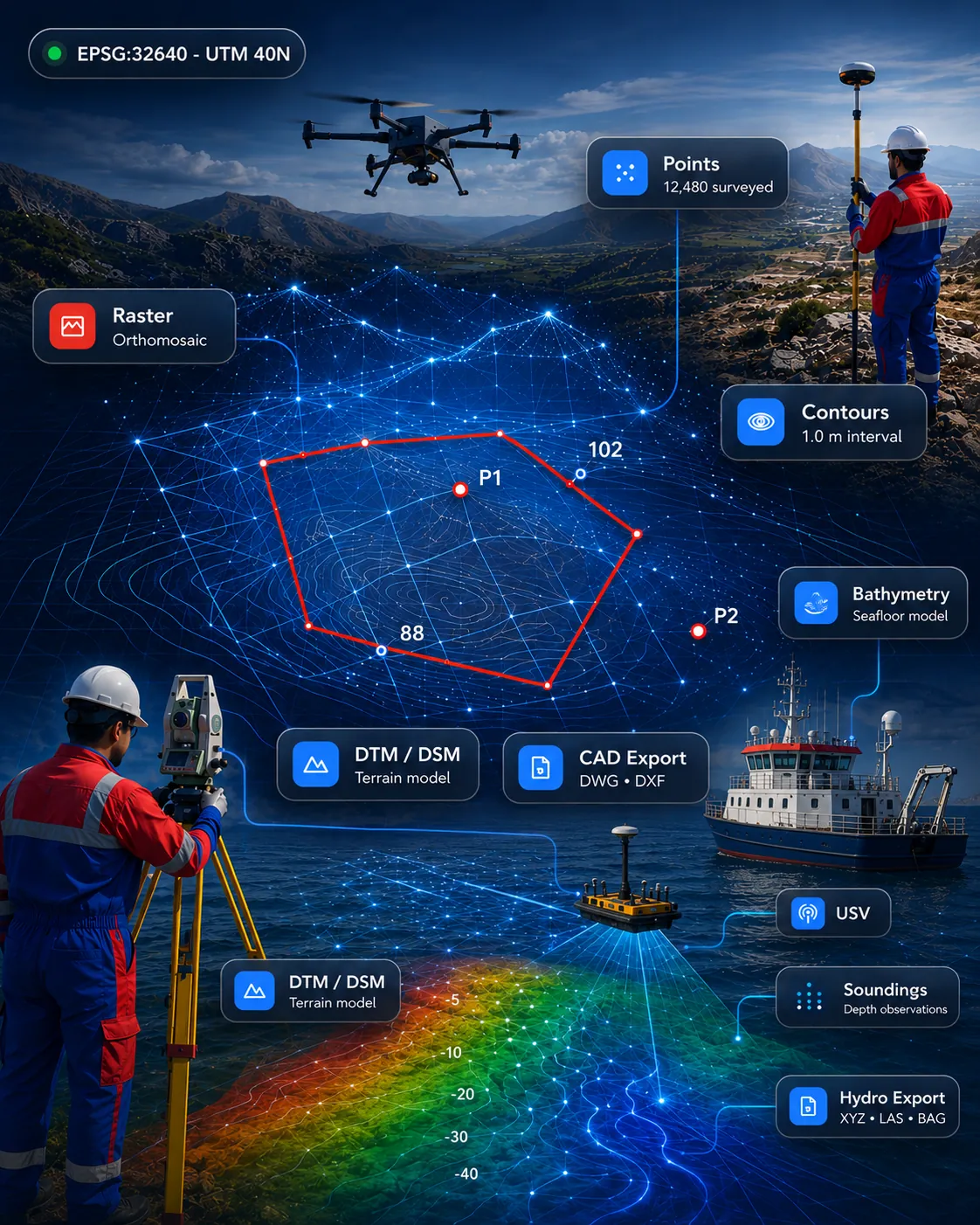
 Survey & CAD
Available for demonstration
GISMappers SurveyCAD Pro
All-in-one survey drafting and geospatial platform for topographic survey, terrain models, point clouds, CAD drafting and GIS deliverables.
SurveyCADGISPoint Cloud
View product 
London
From our London office we support survey, engineering and infrastructure teams across the United Kingdom with GIS Mappers software, demonstrations and custom software development managed in UK time.
Field-to-finish survey, CAD, bathymetric, drone, point cloud, PDF and CRM software, each shown with its current availability.
Survey & CADAll-in-one survey drafting and geospatial platform for topographic survey, terrain models, point clouds, CAD drafting and GIS deliverables.
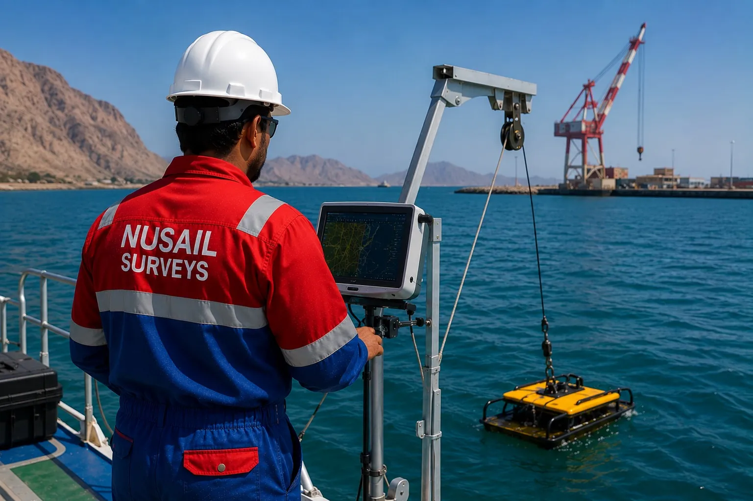 Marine & Hydrographic
Marine survey software for bathymetry, seabed modelling, cross-sections and hydrographic deliverables.
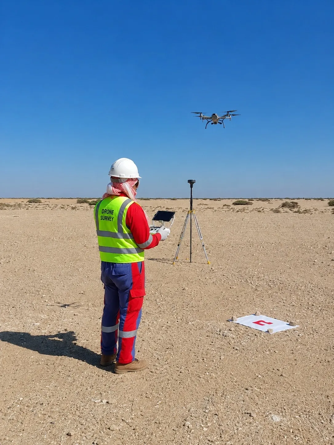 Drone, LiDAR & 3D
Drone and UAV mapping software for orthomosaics, DTM/DSM, point clouds, progress maps and inspection outputs.
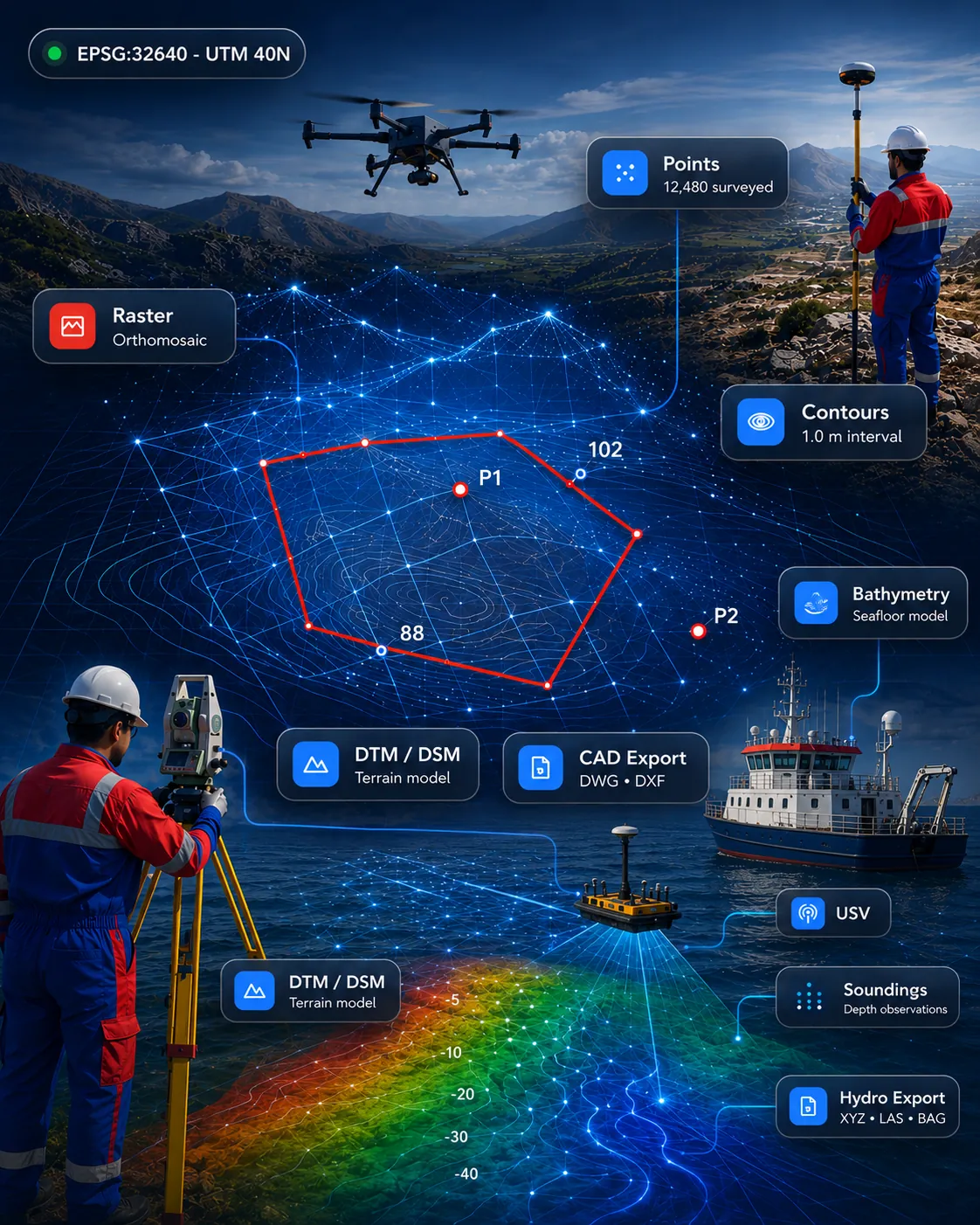 Drone, LiDAR & 3D
Point cloud processing for import, clipping, slicing, sections, registration review and CAD/GIS-ready outputs.
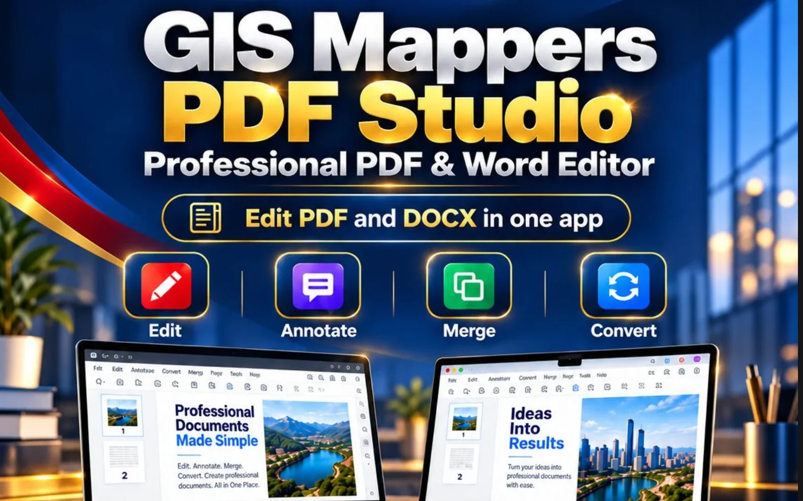 Business, Documents & QA
Edit PDF and Word (DOCX) documents in one app: mark-up, merge, convert and create professional quotations. For Windows and Mac.
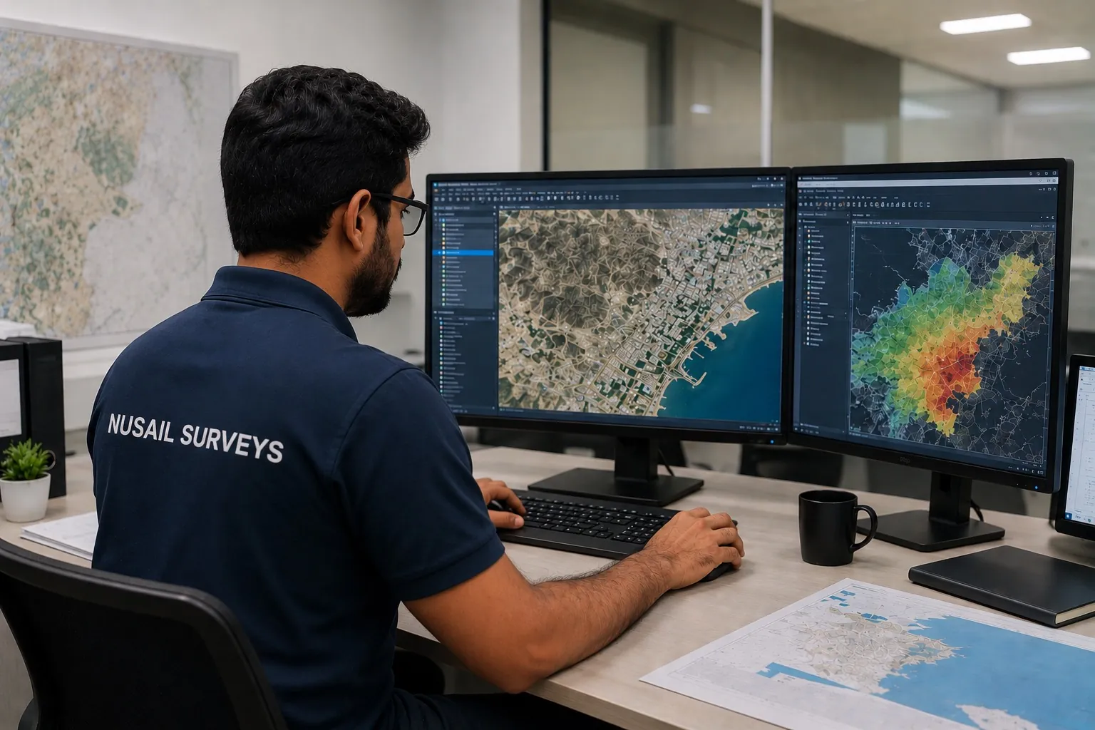 Business, Documents & QA
Survey business CRM for enquiries, quotations, follow-up, tender tracking, project status and workflow management.
Process topographic survey data from GNSS, total stations, drones, LiDAR and point clouds into surfaces, contours, volumes and automated CAD deliverables.
ExploreProcess single-beam and multibeam echo-sounder data with tide and sound-velocity corrections, dredging volumes, cross-sections and chart/report preparation.
ExplorePlan UAV flights and manage photogrammetry, orthomosaics, point clouds, 3D models, progress monitoring and drone inspection reporting.
ExploreExtra developers, specialist skills or complete projects, with flexible engagement and no long-term tie-ins.
Tell us about your project in the UK and we will respond with demonstration options and next steps.