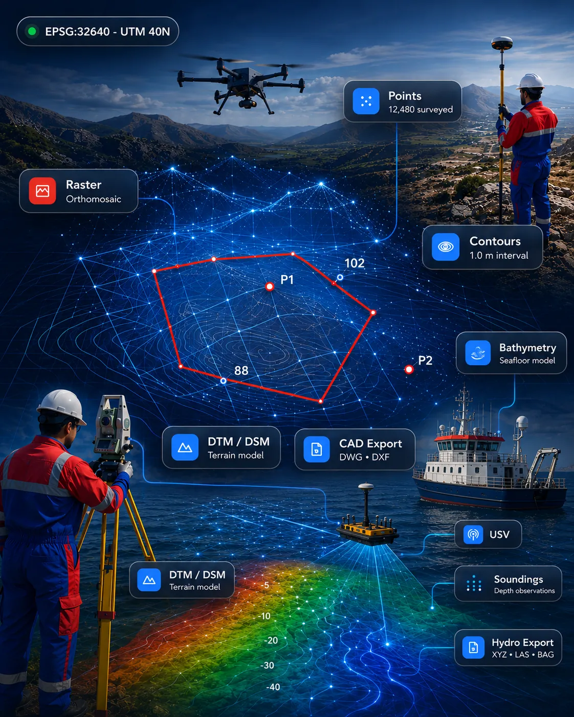
 Drone, LiDAR & 3D
Availability on enquiry
PointCloud Fusion Pro
Point cloud processing for import, clipping, slicing, sections, registration review and CAD/GIS-ready outputs.
Point CloudLiDARSectionsCAD/GIS
View product 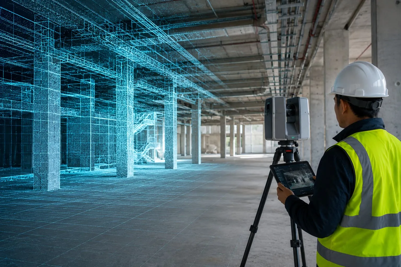
Process terrestrial, mobile and UAV LiDAR and dense photogrammetry — classification, scan-to-CAD, scan-to-BIM, digital twins and 3D asset modelling.
Availability and deployment model are confirmed during enquiry.
Overview
We create software workflows for processing terrestrial laser scanning, mobile LiDAR, UAV LiDAR and dense photogrammetry point clouds — classification, cleaning, feature extraction, scan-to-CAD, scan-to-BIM, asset modelling, digital-twin preparation and 3D visualisation.
Designed for as-built, infrastructure, plant and heritage projects where dense, measurable 3D data is the deliverable.
Key features
Formats & integrations
Designed for
Designed for survey, GIS, CAD, hydrographic and engineering workflows across these sectors.
Drone, LiDAR & 3DPoint cloud processing for import, clipping, slicing, sections, registration review and CAD/GIS-ready outputs.
We model to the LOD you specify and hand over native BIM/CAD plus the source cloud.
Yes — terrestrial, mobile and UAV LiDAR plus dense photogrammetry clouds are all supported.
Plan UAV flights and manage photogrammetry, orthomosaics, point clouds, 3D models, progress monitoring and drone inspection reporting.
ExploreProcess topographic survey data from GNSS, total stations, drones, LiDAR and point clouds into surfaces, contours, volumes and automated CAD deliverables.
ExploreProcess single-beam and multibeam echo-sounder data with tide and sound-velocity corrections, dredging volumes, cross-sections and chart/report preparation.
ExploreRequest a demo
Talk to our survey, software and GeoSystems specialists about your next project.