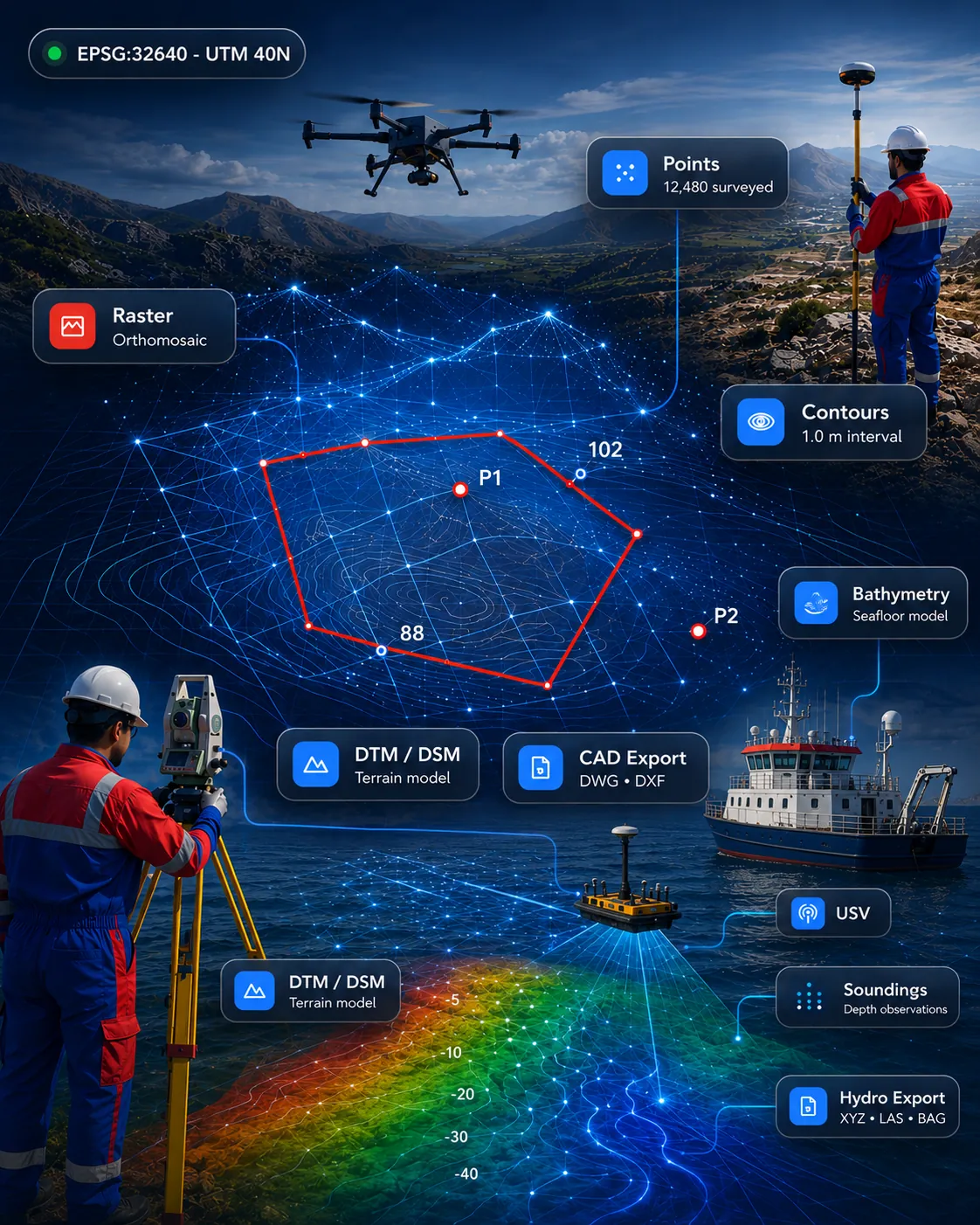
 Survey & CAD
Available for demonstration
GISMappers SurveyCAD Pro
All-in-one survey drafting and geospatial platform for topographic survey, terrain models, point clouds, CAD drafting and GIS deliverables.
SurveyCADGISPoint Cloud
View product 
CAD drafting automation suite for survey drawings, coordinate tables, contours, title blocks, sections and DXF/DWG deliverables.
Scope, fit and demonstration options are confirmed when you enquire.
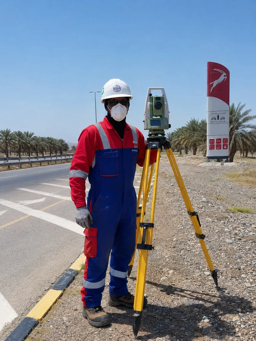
CAD drafting automation suite for survey drawings, coordinate tables, contours, title blocks, sections and DXF/DWG deliverables.
Automate repetitive CAD drafting tasks used in survey and engineering drawing production.
Automate repetitive CAD drafting tasks used in survey and engineering drawing production.
Generate cleaner coordinate tables, sections, contours and title-block driven layouts with less manual rework.
Maintain consistent standards across drawing sets and DXF/DWG deliverables for internal and client use.
This product is relevant to the following workflow areas and project contexts.
Related solution area: CAD & Engineering Automation
Download / trial
No public download is published for this product. Access is arranged through a demonstration.
Request access →Documentation
Documentation for this product is not yet published online. Ask our team for current material.
Contact support
Questions about fit, formats or deployment.
It reduces drafting time for survey teams by automating repeat drawing tasks and improving consistency across deliverables.
It is aimed at coordinate tables, contour drawings, sections, title blocks and professional DXF/DWG production.
Survey & CADAll-in-one survey drafting and geospatial platform for topographic survey, terrain models, point clouds, CAD drafting and GIS deliverables.
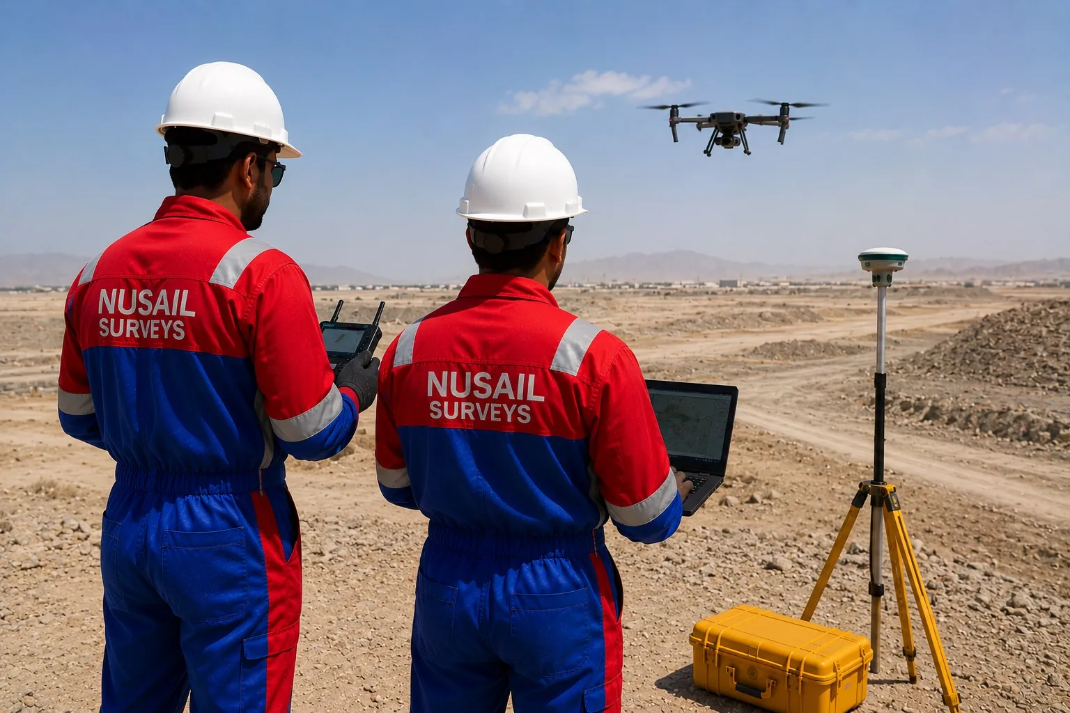 Survey & CAD
Field-to-finish survey automation for GNSS, total station, linework, terrain models, contours and CAD/GIS export.
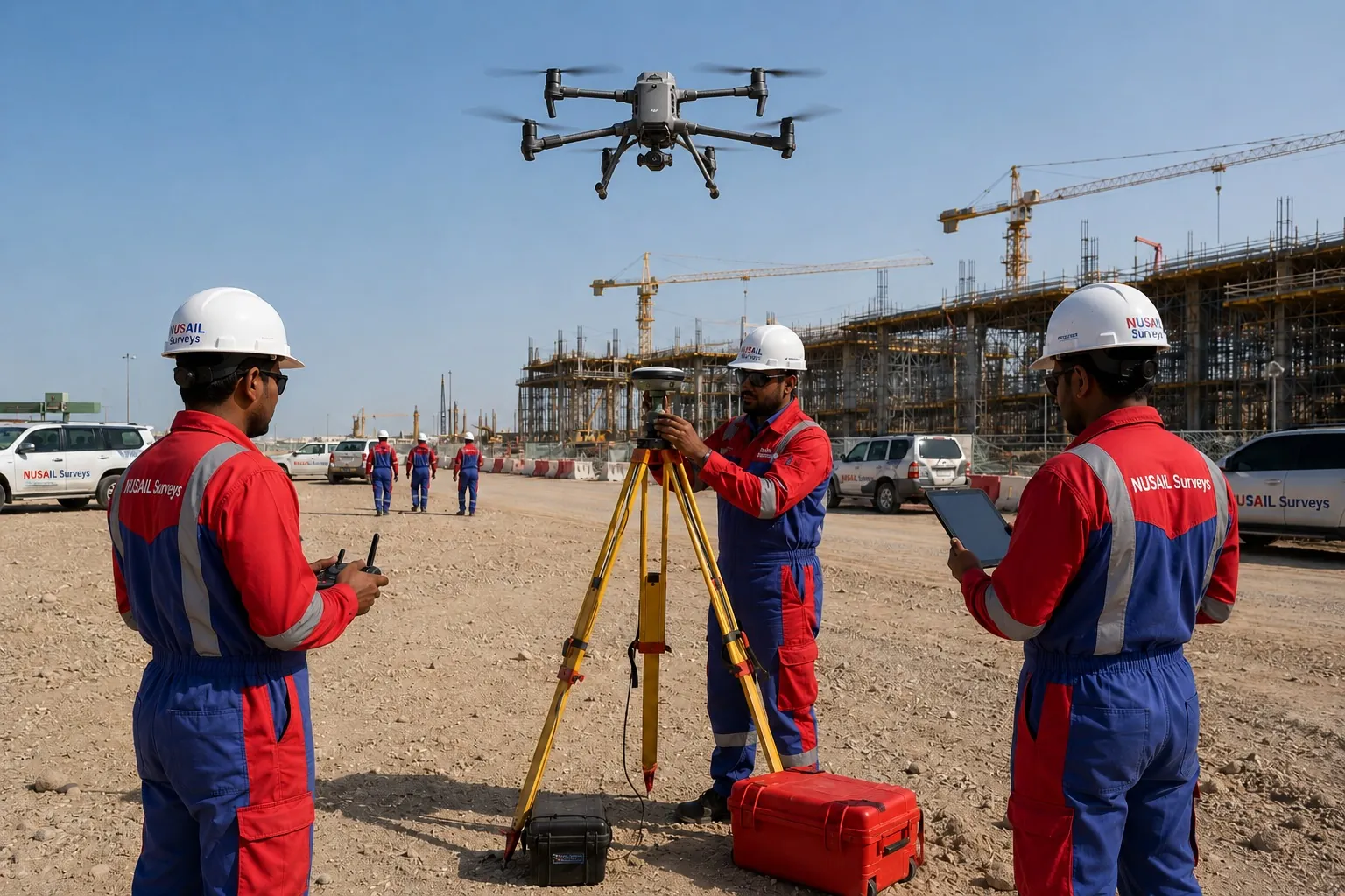 Survey & CAD
Field data capture for coordinates, forms, notes, photos, GNSS observations and structured survey collection.
Talk to our team about demonstrations, deployment options and how this product fits your survey or engineering workflow.