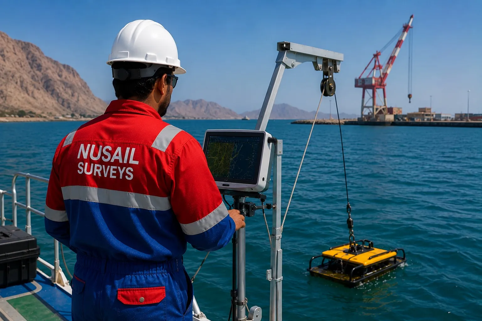
 Marine & Hydrographic
Availability on enquiry
BathyGIS Pro
Marine survey software for bathymetry, seabed modelling, cross-sections and hydrographic deliverables.
BathymetryHydrographicMarineSeabed
View product 
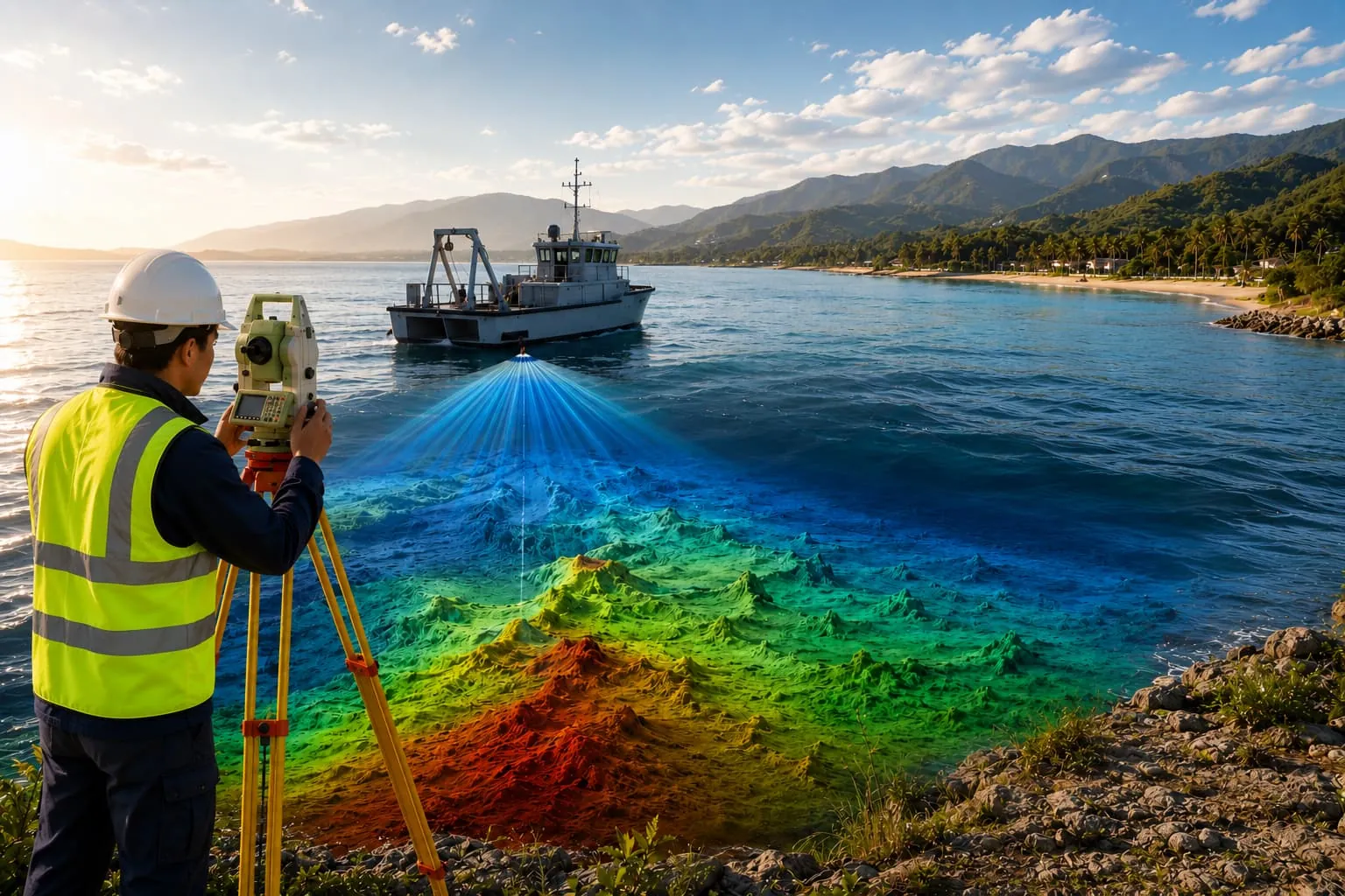
Process single-beam and multibeam echo-sounder data with tide and sound-velocity corrections, dredging volumes, cross-sections and chart/report preparation.
Availability and deployment model are confirmed during enquiry.
We build hydrographic and bathymetric software workflows for marine survey data — single beam and multibeam echo sounders, tide corrections, sound-velocity corrections, seabed surface generation, dredging volume calculation, cross-sections, profiles and chart preparation.
Designed for port, harbour, coastal, offshore, dredging and marine infrastructure projects, the workflows align with hydrographic standards and integrate positioning, ADCP and side-scan data.
Designed for survey, GIS, CAD, hydrographic and engineering workflows across these sectors.
Marine & HydrographicMarine survey software for bathymetry, seabed modelling, cross-sections and hydrographic deliverables.
Yes — workflows cover SBES and MBES, with tide and sound-velocity reduction and QC to hydrographic standards.
Yes — pre/post-dredge surface comparison with volume reports and cross-sections for payment and monitoring.
Port & harbour GIS, coastal & shoreline monitoring, dredging progress and hydrographic data management for marine authorities and contractors.
ExploreProcess topographic survey data from GNSS, total stations, drones, LiDAR and point clouds into surfaces, contours, volumes and automated CAD deliverables.
ExplorePlan UAV flights and manage photogrammetry, orthomosaics, point clouds, 3D models, progress monitoring and drone inspection reporting.
ExploreTalk to our survey, software and GeoSystems specialists about your next project.