 Drone, LiDAR & 3D
Availability on enquiry
GISMappers Drone Mapper Pro
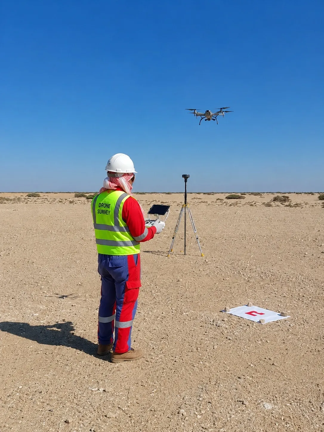
Drone and UAV mapping software for orthomosaics, DTM/DSM, point clouds, progress maps and inspection outputs.
DroneUAVOrthomosaicDTM/DSM
View product 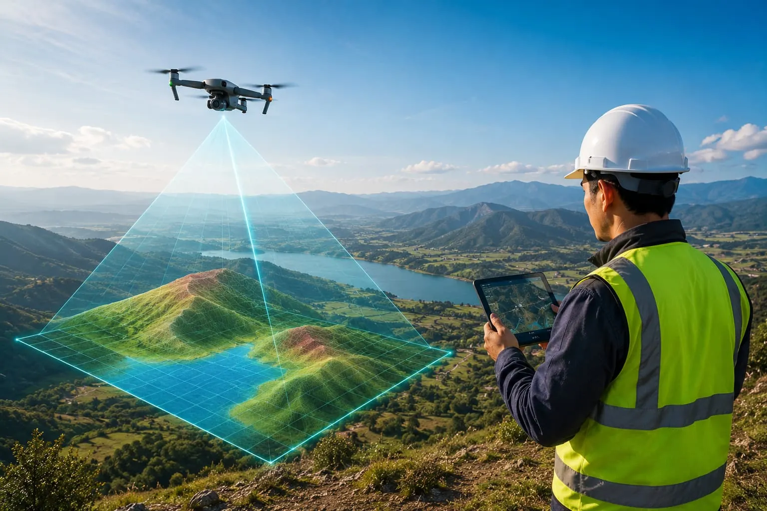
Plan UAV flights and manage photogrammetry, orthomosaics, point clouds, 3D models, progress monitoring and drone inspection reporting.
Availability and deployment model are confirmed during enquiry.
Overview
We develop software for drone mapping and UAV survey — flight planning, orthomosaic management, photogrammetry workflows, point-cloud and 3D-model outputs, site progress monitoring and inspection reporting.
Designed for construction, quarry, infrastructure, renewable energy, coastal, industrial and environmental projects, the tools turn drone imagery and RTK/PPK logs into measurable, CAD/GIS-ready deliverables.
Key features
Formats & integrations
Designed for
Designed for survey, GIS, CAD, hydrographic and engineering workflows across these sectors.
Drone, LiDAR & 3DDrone and UAV mapping software for orthomosaics, DTM/DSM, point clouds, progress maps and inspection outputs.
Yes — workflows ingest RTK/PPK logs and GCPs for survey-grade accuracy on open ground.
Yes — repeat surveys are compared for progress monitoring and change detection.
Process terrestrial, mobile and UAV LiDAR and dense photogrammetry — classification, scan-to-CAD, scan-to-BIM, digital twins and 3D asset modelling.
ExploreProcess topographic survey data from GNSS, total stations, drones, LiDAR and point clouds into surfaces, contours, volumes and automated CAD deliverables.
ExploreProcess single-beam and multibeam echo-sounder data with tide and sound-velocity corrections, dredging volumes, cross-sections and chart/report preparation.
ExploreRequest a demo
Talk to our survey, software and GeoSystems specialists about your next project.