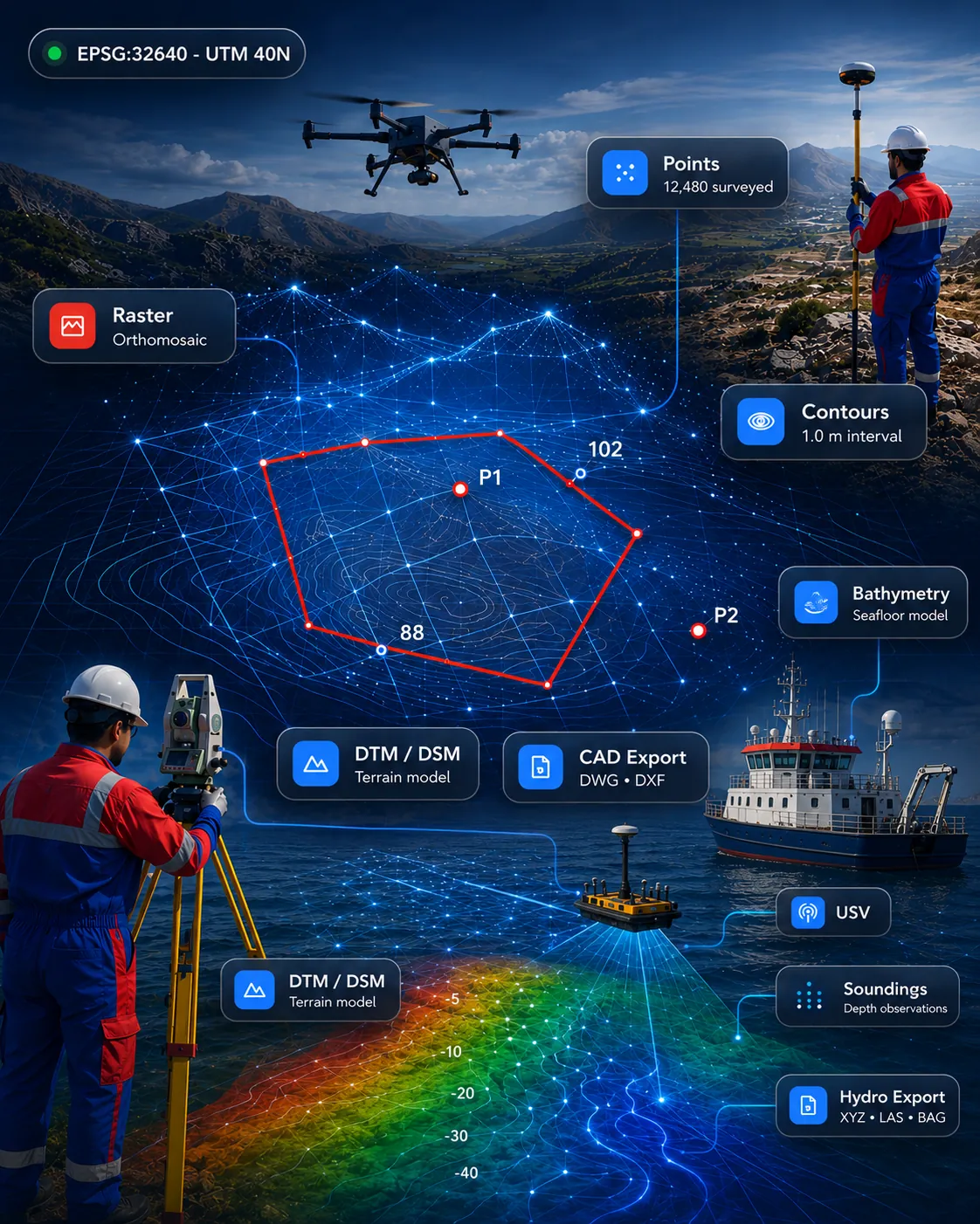
 Drone, LiDAR & 3D
Availability on enquiry
PointCloud Fusion Pro
Point cloud processing for import, clipping, slicing, sections, registration review and CAD/GIS-ready outputs.
Point CloudLiDARSectionsCAD/GIS
View product Drone and UAV mapping workflow for flight data, orthomosaics, DTM/DSM, point clouds, site progress maps and inspection outputs.
Scope, fit and demonstration options are confirmed when you enquire.
Overview
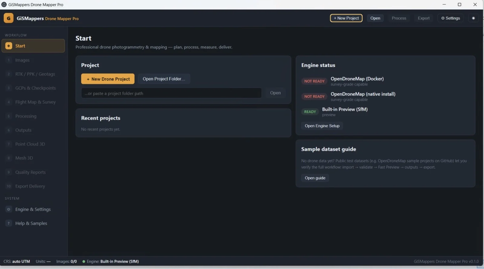
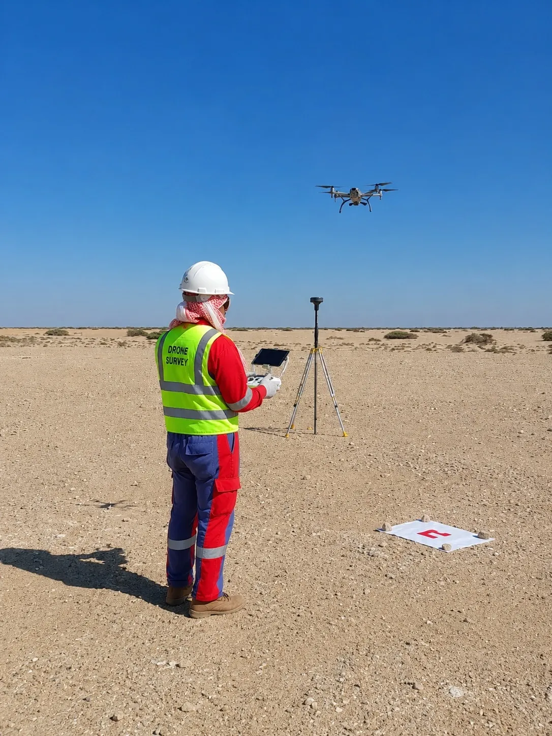
Drone and UAV mapping workflow for flight data, orthomosaics, DTM/DSM, point clouds, site progress maps and inspection outputs.
Process UAV mapping data into orthomosaics, DTM/DSM outputs, point clouds and inspection deliverables.
What it does
Process UAV mapping data into orthomosaics, DTM/DSM outputs, point clouds and inspection deliverables.
How it helps
Organise flight-derived data for site progress, project review and visual reporting workflows.
Where it fits
Support drone survey teams with practical outputs for mapping, monitoring and engineering use cases.
Key capabilities
Typical outputs
Applications
This product is relevant to the following workflow areas and project contexts.
Related solution area: Drone & UAV Mapping Software
Screenshots
Documentation & downloads
Download / trial
No public download is published for this product. Access is arranged through a demonstration.
Request access →Documentation
Documentation for this product is not yet published online. Ask our team for current material.
Contact support
Questions about fit, formats or deployment.
It is built for UAV mapping, orthomosaics, terrain models, point clouds and project progress outputs.
Yes. It is suitable for inspection and monitoring workflows where aerial imagery needs to become clear project deliverables.
Drone, LiDAR & 3DPoint cloud processing for import, clipping, slicing, sections, registration review and CAD/GIS-ready outputs.
 Survey & CAD
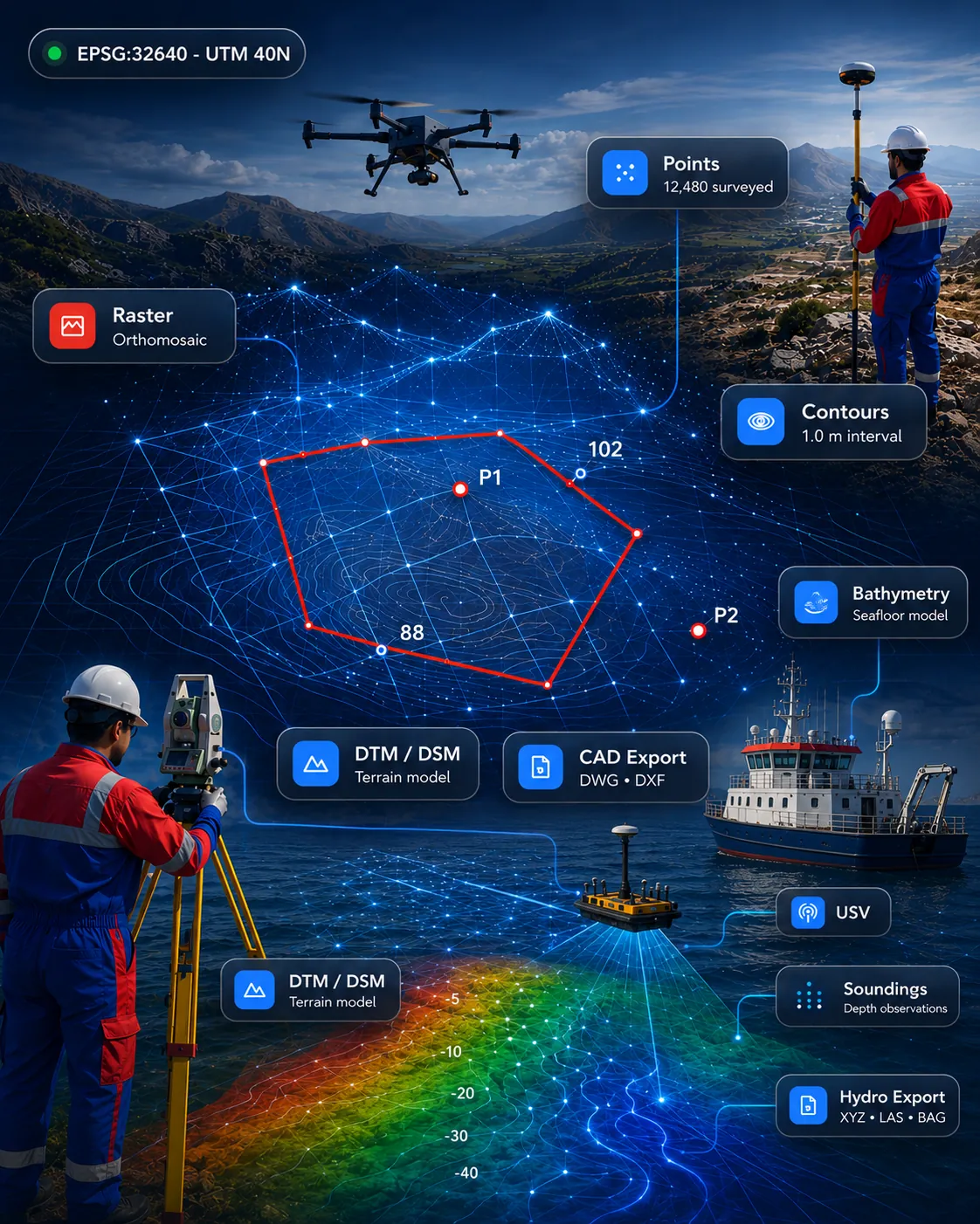
All-in-one survey drafting and geospatial platform for topographic survey, terrain models, point clouds, CAD drafting and GIS deliverables.
 Marine & Hydrographic
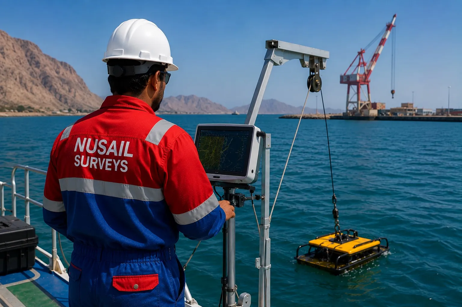
Marine survey software for bathymetry, seabed modelling, cross-sections and hydrographic deliverables.
Request a demo
Talk to our team about demonstrations, deployment options and how this product fits your survey or engineering workflow.