 Survey & CAD
Available for demonstration
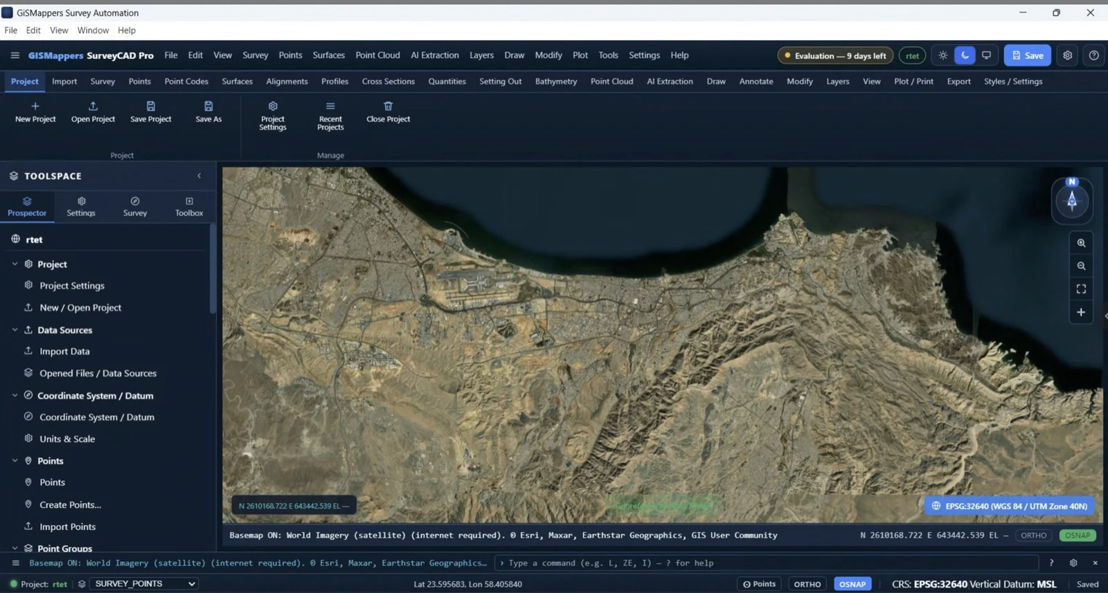
GISMappers SurveyCAD Pro
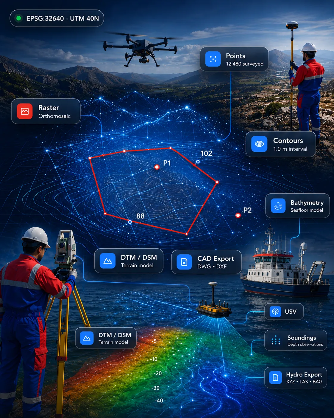
All-in-one survey drafting and geospatial platform for topographic survey, terrain models, point clouds, CAD drafting and GIS deliverables.
SurveyCADGISPoint Cloud
View product GIS Mappers Software
Advanced Surveying, CAD, GIS, Hydrographic and AI-Powered Software Solutions.
Featured products
From field capture and terrain modelling to bathymetry, point clouds, documents and business workflow.
Survey & CADAll-in-one survey drafting and geospatial platform for topographic survey, terrain models, point clouds, CAD drafting and GIS deliverables.
 Marine & Hydrographic
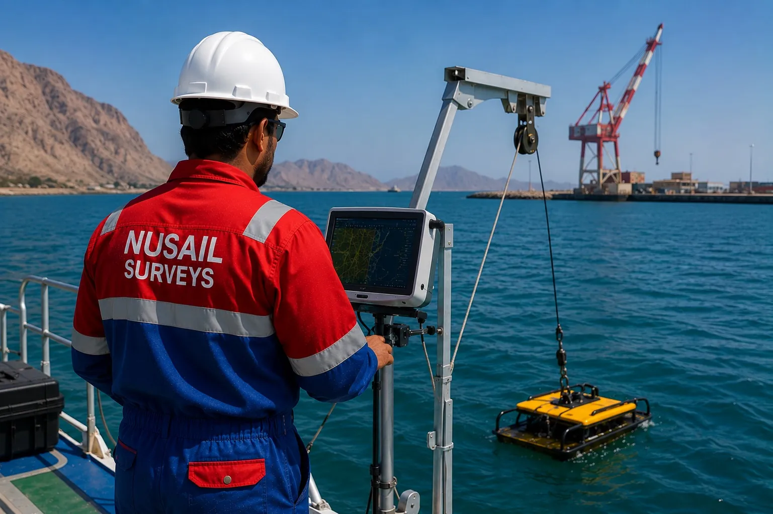
Marine survey software for bathymetry, seabed modelling, cross-sections and hydrographic deliverables.
 Drone, LiDAR & 3D
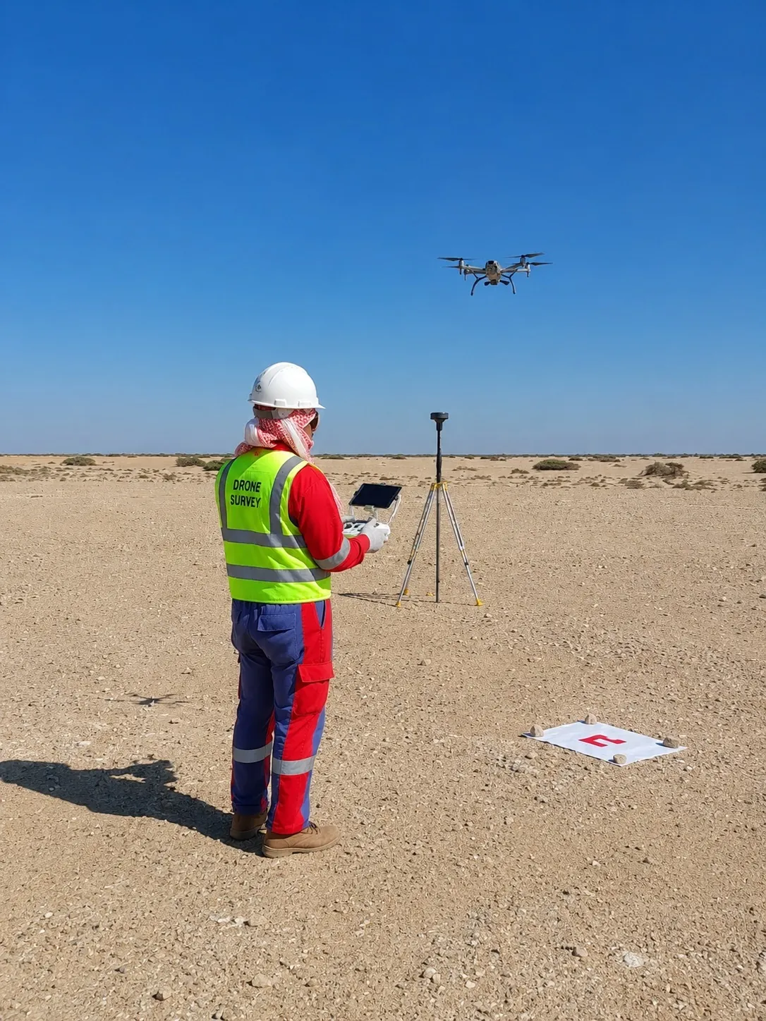
Drone and UAV mapping software for orthomosaics, DTM/DSM, point clouds, progress maps and inspection outputs.
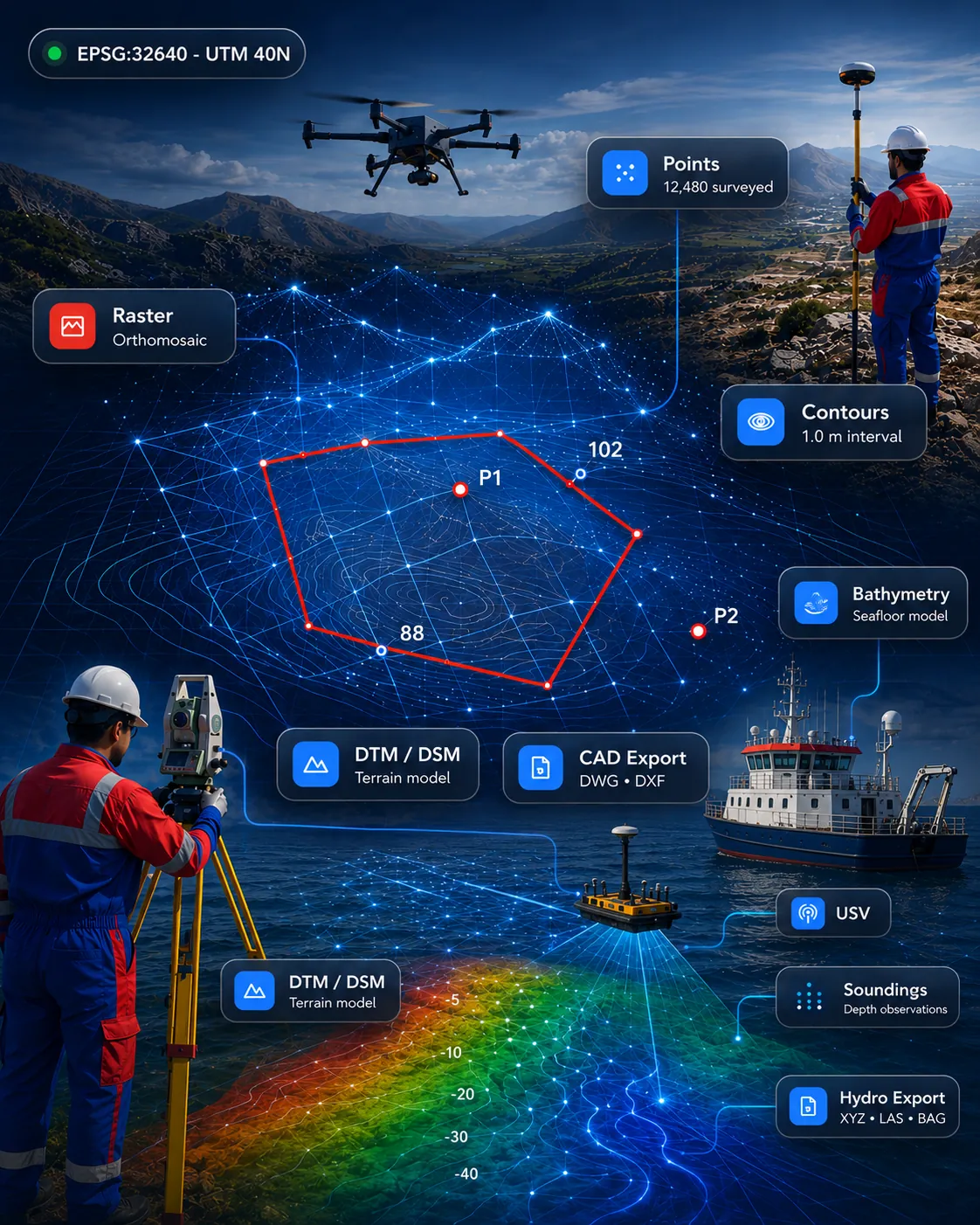 Drone, LiDAR & 3D
Point cloud processing for import, clipping, slicing, sections, registration review and CAD/GIS-ready outputs.
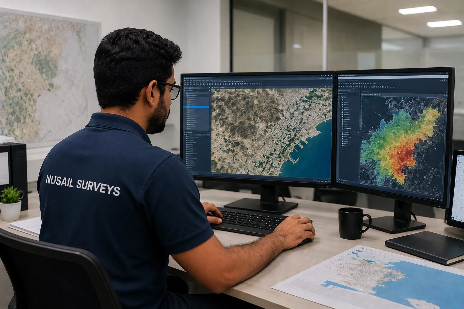 Business, Documents & QA
Engineering PDF editor for mark-up, merge, split, redlines, drawing review and submission-ready files.
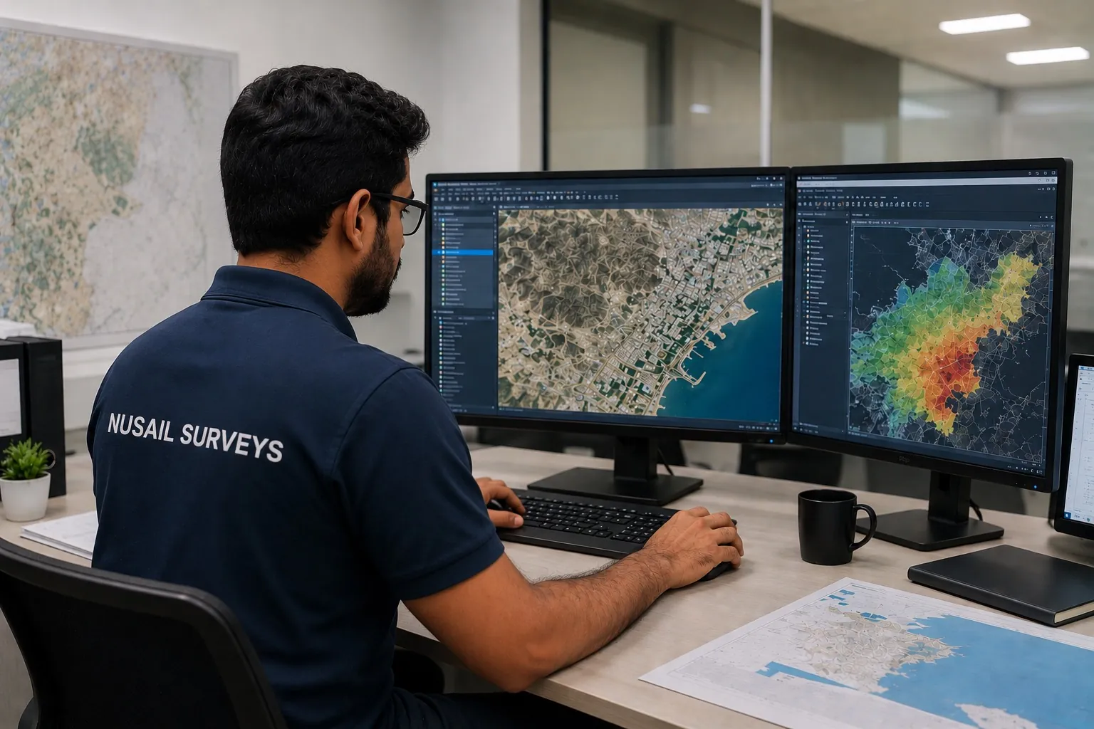 Business, Documents & QA
Survey business CRM for enquiries, quotations, follow-up, tender tracking, project status and workflow management.
Survey automation software for CAD, GIS, surfaces, alignments, quantities, and final deliverables.
SurveyCAD Pro is designed to bring survey processing, CAD drafting, surface modelling and deliverable production into a single, structured workflow — so teams can move from raw points to issued drawings with fewer manual steps.
Project & Datum
Set standards before any data is imported
Survey Point
Import, organise and validate field data
CAD Drafting
Familiar drafting tools for survey teams
Surface & Contour
Turn points into terrain models
Raster / DEM / Point Cloud
Large elevation datasets, handled smoothly
Alignment & Profile
Design centrelines and ground profiles
Cross Section & Quantity
Compare surfaces and measure volumes
Deliverable & Print
Prepare client-ready output
Automation & QA
Quality checks before submission
Software categories
Each area is labelled honestly: available for demonstration, in development, internal workflow solution, or custom solution on enquiry.
Process topographic survey data from GNSS, total stations, drones, LiDAR and point clouds into surfaces, contours, volumes and automated CAD deliverables.
ExploreProcess single-beam and multibeam echo-sounder data with tide and sound-velocity corrections, dredging volumes, cross-sections and chart/report preparation.
ExplorePlan UAV flights and manage photogrammetry, orthomosaics, point clouds, 3D models, progress monitoring and drone inspection reporting.
ExploreProcess terrestrial, mobile and UAV LiDAR and dense photogrammetry — classification, scan-to-CAD, scan-to-BIM, digital twins and 3D asset modelling.
ExploreBuild enterprise and web GIS, asset & utility portals, smart-city platforms, mobile GIS data collection and interactive dashboards on secure cloud.
ExploreAutomate repetitive CAD work — survey drawing production, linework, layer control, sheet layout, PDF/GIS-to-CAD conversion and drawing comparison.
ExploreReview, measure, mark up, compare and convert technical drawings — including PDF-to-CAD and PDF-to-GIS workflows.
ExploreRun leads, clients, quotations, tenders, projects, equipment, scheduling and invoicing in one CRM built for survey and engineering firms.
ExploreExtract buildings, roads, kerbs, boundaries and utilities automatically from imagery and point clouds, then convert to CAD/GIS-ready outputs.
ExploreAnalyse satellite and drone imagery — change detection, land-cover classification, environmental monitoring and predictive geospatial analytics.
ExplorePort & harbour GIS, coastal & shoreline monitoring, dredging progress and hydrographic data management for marine authorities and contractors.
ExploreConnect GNSS, total stations, scanners, echo sounders, ADCP, drones and IoT sensors into real-time dashboards and field-to-office automation.
ExploreWhy GIS Mappers Software
Survey-processing, CAD, GIS, point-cloud, bathymetric, drone, reporting and business-automation software built by working surveyors.
Practical desktop tools and workflow solutions that turn field data into engineering deliverables — developed and used on our own projects.
SurveyCAD Pro's Automation & QA engine checks levels, duplicates and linework before submission, reflecting the documented QA/QC GIS Mappers applies to its survey deliverables.
Backed by GIS Mappers teams in London, Muscat and Jeddah · Riyadh · Dammam for demonstrations and support.
Engineering workflows
The software catalogue reflects real delivery needs across topographic survey, bathymetry, drone mapping, CAD production, asset management, field capture and business workflow control.
GNSS, total station, drone, marine, point cloud and field data workflows.
Clean processing for terrain, seabed, drafting, point cloud and GIS outputs.
Asset, PDF and CRM tools support project control from office to delivery.
Professional CAD, GIS, reports, PDFs and workflow-ready deliverables.
SurveyCAD Pro · field to final drawing
AI and automation
Automation runs through the catalogue — from field-to-finish survey processing and drafting standards to CRM workflows. AI feature extraction and GeoAI remote sensing are in active development and are labelled as such.
Extract buildings, roads, kerbs, boundaries and utilities automatically from imagery and point clouds, then convert to CAD/GIS-ready outputs.
Analyse satellite and drone imagery — change detection, land-cover classification, environmental monitoring and predictive geospatial analytics.
Automate repetitive CAD work — survey drawing production, linework, layer control, sheet layout, PDF/GIS-to-CAD conversion and drawing comparison.
Run leads, clients, quotations, tenders, projects, equipment, scheduling and invoicing in one CRM built for survey and engineering firms.
Screenshots and demonstrations
Real application screens from GIS Mappers products. Live demonstrations on your own data are available on request.
PDF Editor video tutorial
Watch the published walkthrough on YouTube.
Download / Free trial
PDF Editor is available now from the Microsoft Store. Other products are provided through guided demonstrations — we confirm release status, licensing and system requirements when you enquire.
Technical support
Questions about a product, a workflow or a format? Reach the GIS Mappers team directly.
Request a demo
Request a guided demonstration and we can walk your team through a field-to-finish workflow on a sample project — from point import to issued drawings.