In development
AI Mapping & Feature Extraction
Extract buildings, roads, kerbs, boundaries and utilities automatically from imagery and point clouds, then convert to CAD/GIS-ready outputs.
Explore
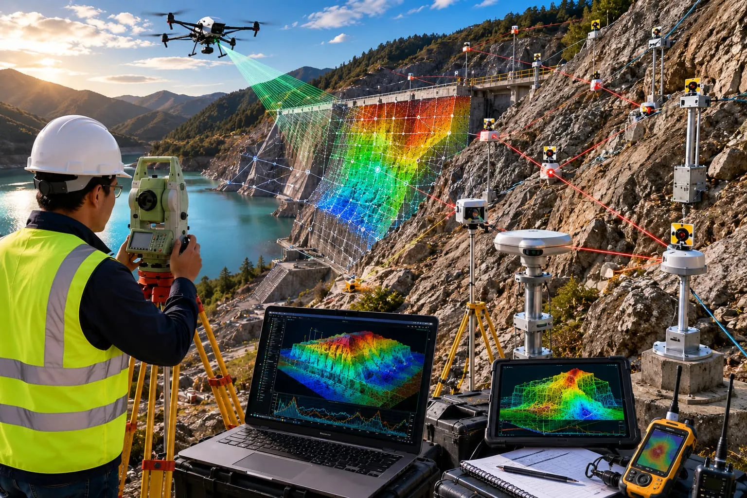
Analyse satellite and drone imagery — change detection, land-cover classification, environmental monitoring and predictive geospatial analytics.
Under active development. Not yet released.
We develop GeoAI and remote sensing software for satellite imagery, drone imagery, environmental monitoring, land-cover classification, change detection and predictive geospatial analytics — combining GIS, AI and remote sensing for smarter decisions.
The workflows combine automated image-processing pipelines with human-reviewed outputs.
Designed for survey, GIS, CAD, hydrographic and engineering workflows across these sectors.
Optical and multispectral satellite, plus your own drone imagery — pipelines are built around your data and area of interest.
Trend and change layers such as vegetation, land-use change and environmental indicators, framed as decision support.
Extract buildings, roads, kerbs, boundaries and utilities automatically from imagery and point clouds, then convert to CAD/GIS-ready outputs.
ExploreProcess topographic survey data from GNSS, total stations, drones, LiDAR and point clouds into surfaces, contours, volumes and automated CAD deliverables.
ExploreProcess single-beam and multibeam echo-sounder data with tide and sound-velocity corrections, dredging volumes, cross-sections and chart/report preparation.
ExploreTalk to our survey, software and GeoSystems specialists about your next project.