Custom solution on enquiry
GIS & Web Mapping Platforms
Build enterprise and web GIS, asset & utility portals, smart-city platforms, mobile GIS data collection and interactive dashboards on secure cloud.
Explore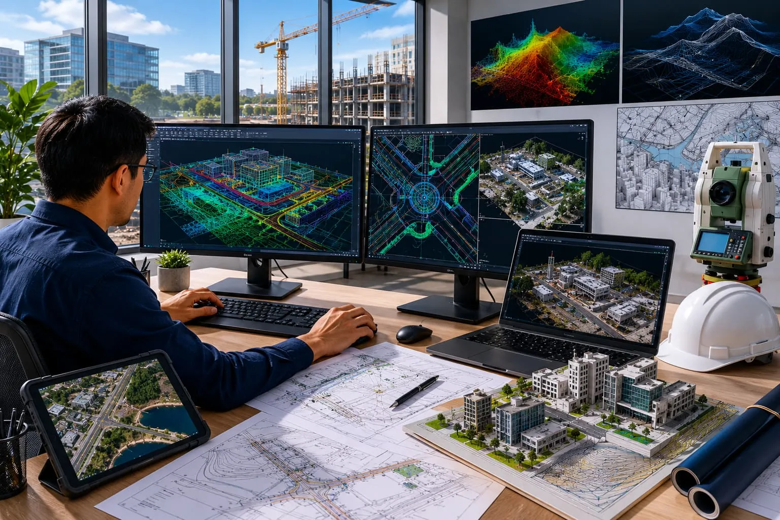
Connect GNSS, total stations, scanners, echo sounders, ADCP, drones and IoT sensors into real-time dashboards and field-to-office automation.
Built or configured to your requirements. Availability and deployment model confirmed during enquiry.
Overview
We create integration systems that connect survey instruments, sensors, marine equipment, drones, GNSS receivers, total stations, laser scanners, echo sounders, ADCPs and IoT devices into real-time dashboards and automated workflows — supporting field-to-office data transfer and monitoring.
Part of the GIS Mappers / GeoSystems group, these integrations link the hardware you own to the software you use.
Key features
Formats & integrations
Designed for
Designed for survey, GIS, CAD, hydrographic and engineering workflows across these sectors.
Yes — integrations are built around the makes and models you already operate.
Both — live dashboards for monitoring and automated batch transfer for field-to-office deliverables.
Build enterprise and web GIS, asset & utility portals, smart-city platforms, mobile GIS data collection and interactive dashboards on secure cloud.
ExploreProcess topographic survey data from GNSS, total stations, drones, LiDAR and point clouds into surfaces, contours, volumes and automated CAD deliverables.
ExploreProcess single-beam and multibeam echo-sounder data with tide and sound-velocity corrections, dredging volumes, cross-sections and chart/report preparation.
ExploreRequest a demo
Talk to our survey, software and GeoSystems specialists about your next project.