 Survey & CAD
Available for demonstration
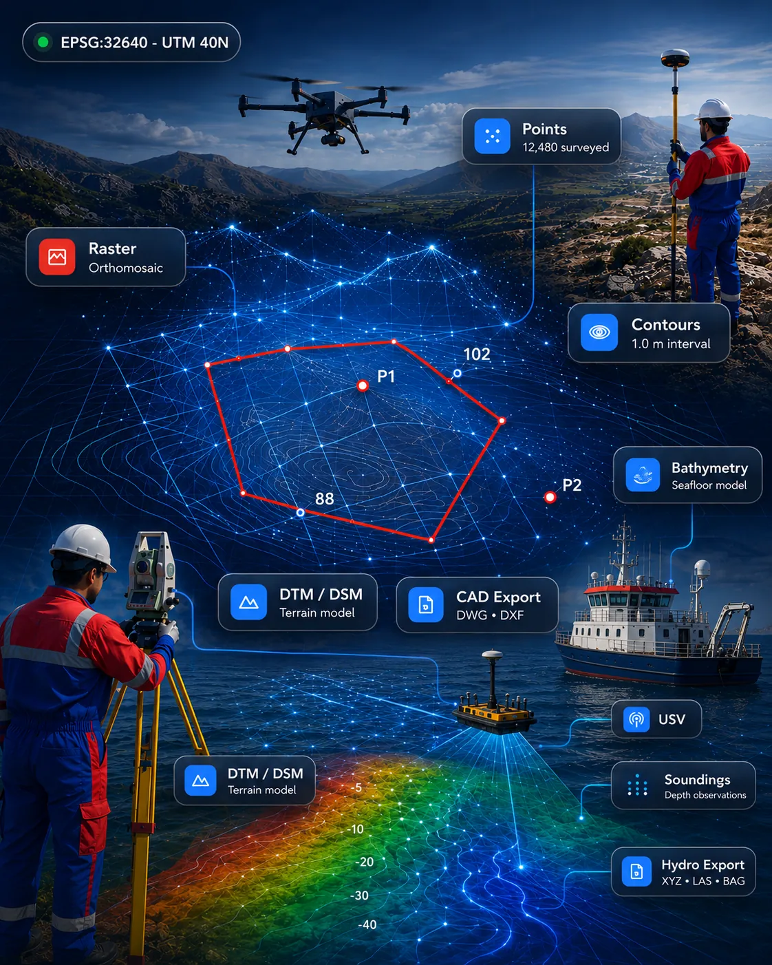
GISMappers SurveyCAD Pro
All-in-one survey drafting and geospatial platform for topographic survey, terrain models, point clouds, CAD drafting and GIS deliverables.
SurveyCADGISPoint Cloud
View product 
Automate repetitive CAD work — survey drawing production, linework, layer control, sheet layout, PDF/GIS-to-CAD conversion and drawing comparison.
Developed for and used on our own projects. Availability and deployment model confirmed during enquiry.
Overview
We build engineering automation tools that reduce repetitive CAD work for surveyors, engineers and drafting teams — automatic linework generation, layer control, drawing standardisation, title-block and sheet-layout automation, GIS-to-CAD and PDF-to-CAD workflows and drawing comparison.
Designed for survey, GIS, CAD and engineering workflows and built to match your drafting standards.
Key features
Formats & integrations
Designed for
Designed for survey, GIS, CAD, hydrographic and engineering workflows across these sectors.
Survey & CADAll-in-one survey drafting and geospatial platform for topographic survey, terrain models, point clouds, CAD drafting and GIS deliverables.
 Survey & CAD
CAD drafting automation for survey drawings, coordinate tables, contours, sections and DXF/DWG outputs.
Yes — layers, linetypes, blocks, title blocks and sheet templates are configured to your standard.
Yes — drawing comparison highlights additions, deletions and changes between revisions.
Process topographic survey data from GNSS, total stations, drones, LiDAR and point clouds into surfaces, contours, volumes and automated CAD deliverables.
ExploreProcess single-beam and multibeam echo-sounder data with tide and sound-velocity corrections, dredging volumes, cross-sections and chart/report preparation.
ExplorePlan UAV flights and manage photogrammetry, orthomosaics, point clouds, 3D models, progress monitoring and drone inspection reporting.
ExploreRequest a demo
Talk to our survey, software and GeoSystems specialists about your next project.