 Survey & CAD
Available for demonstration
GISMappers SurveyCAD Pro
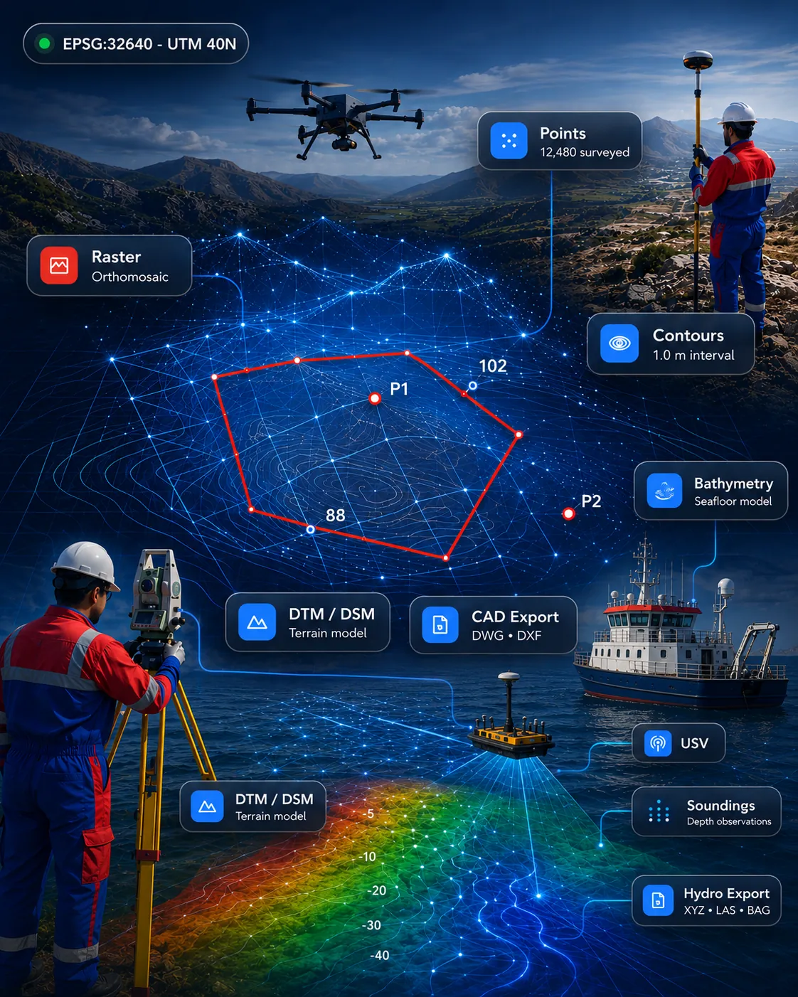
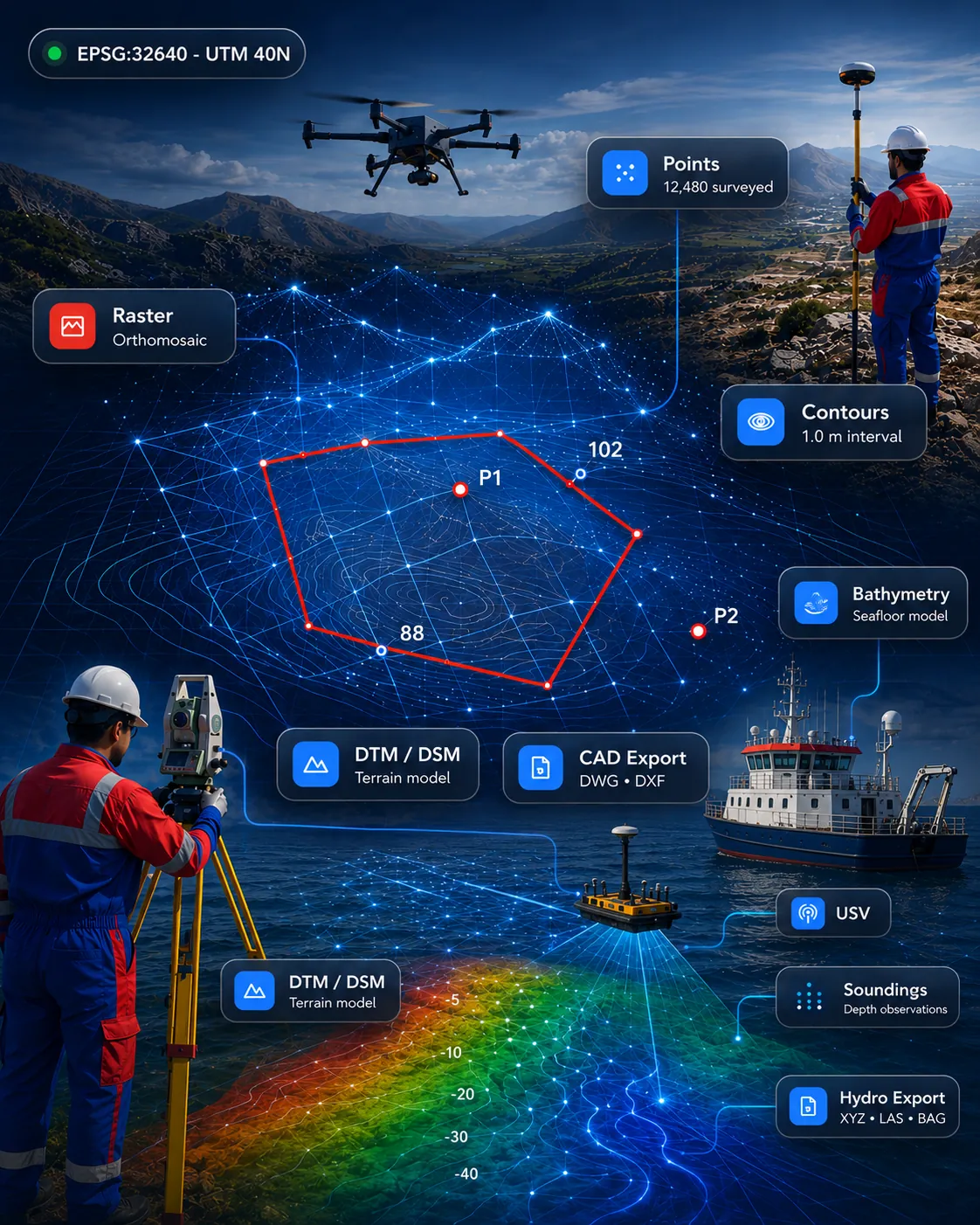
All-in-one survey drafting and geospatial platform for topographic survey, terrain models, point clouds, CAD drafting and GIS deliverables.
SurveyCADGISPoint Cloud
View product 
Hydrographic and bathymetric survey workflow for depth data, cross-sections, seabed models and marine deliverables.
Scope, fit and demonstration options are confirmed when you enquire.
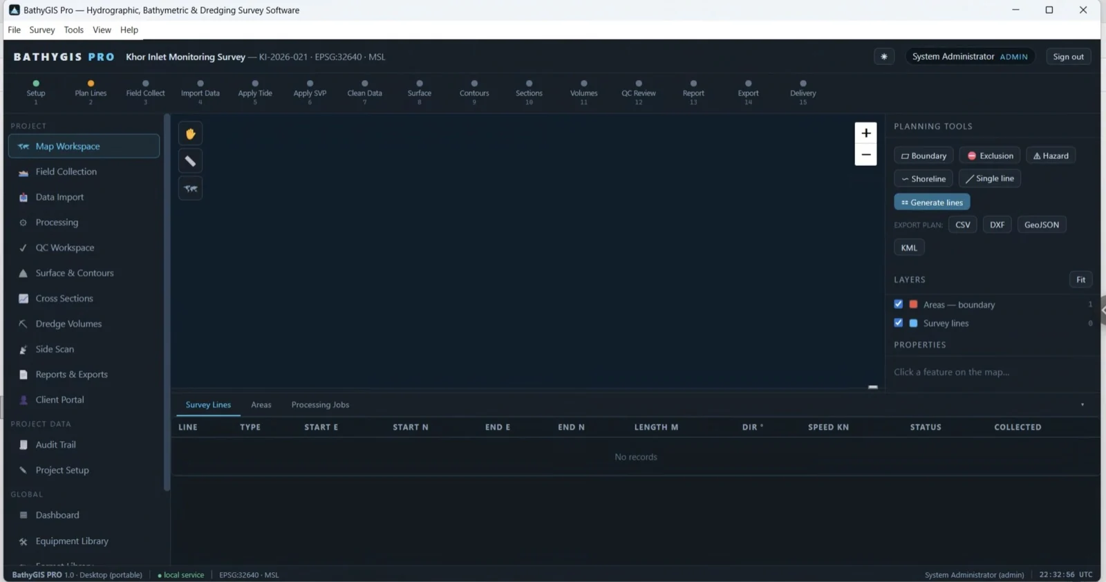
Hydrographic and bathymetric survey workflow for depth data, cross-sections, seabed models and marine deliverables.
Import depth observations, survey lines and support data into one controlled bathymetric workflow.
Import depth observations, survey lines and support data into one controlled bathymetric workflow.
Process cleaned soundings into cross-sections, seabed models, contours and reporting outputs.
Support marine projects with dependable data review, quality control and final deliverable preparation.
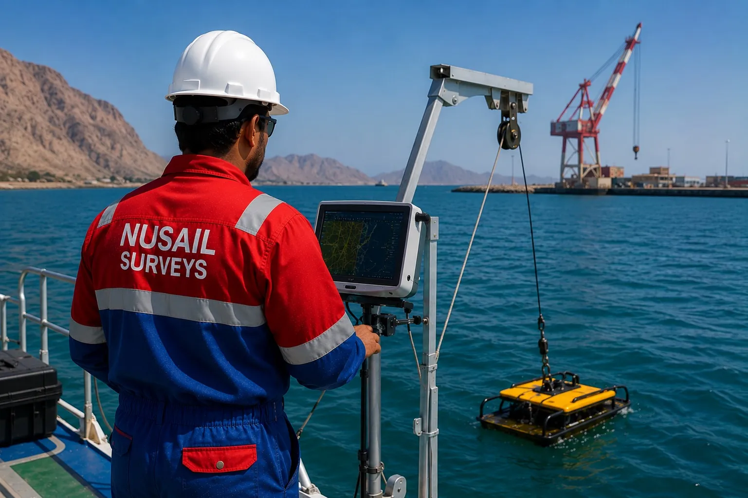
This product is relevant to the following workflow areas and project contexts.
Related solution areas: Hydrographic & Bathymetric Software · Marine & Coastal Software
Download / trial
No public download is published for this product. Access is arranged through a demonstration.
Request access →Documentation
Documentation for this product is not yet published online. Ask our team for current material.
Contact support
Questions about fit, formats or deployment.
It supports bathymetric and hydrographic workflows from depth-data handling through seabed modelling, sections, contours and report-ready outputs.
Marine survey teams, port projects, coastal studies and bathymetric processing teams needing structured deliverables.
Survey & CADAll-in-one survey drafting and geospatial platform for topographic survey, terrain models, point clouds, CAD drafting and GIS deliverables.
 Drone, LiDAR & 3D
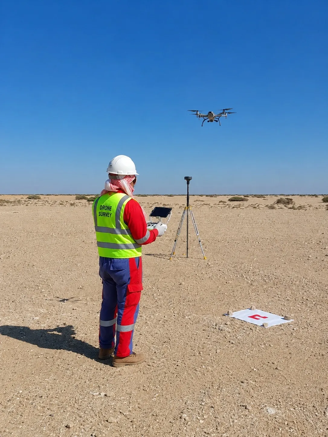
Drone and UAV mapping software for orthomosaics, DTM/DSM, point clouds, progress maps and inspection outputs.
 Drone, LiDAR & 3D
Point cloud processing for import, clipping, slicing, sections, registration review and CAD/GIS-ready outputs.
Talk to our team about demonstrations, deployment options and how this product fits your survey or engineering workflow.