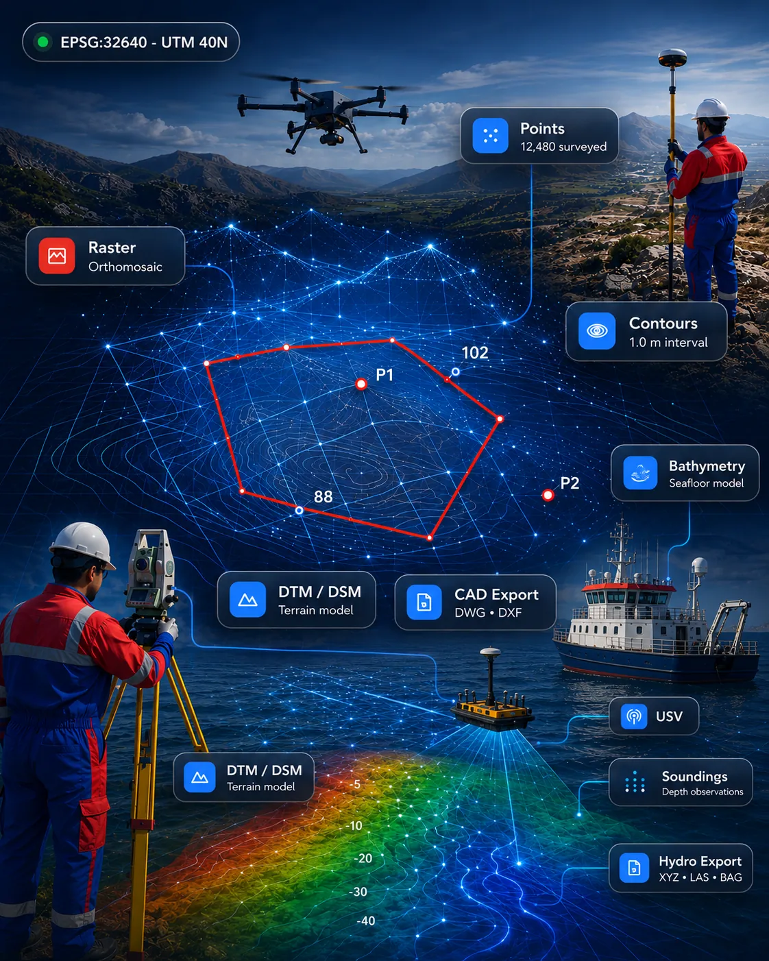
 Survey & CAD
Available for demonstration
GISMappers SurveyCAD Pro
All-in-one survey drafting and geospatial platform for topographic survey, terrain models, point clouds, CAD drafting and GIS deliverables.
SurveyCADGISPoint Cloud
View product Clean, practical software aligned with real field workflows. Every product is labelled with its current availability.
11 of 11 products
Survey & CADAll-in-one survey drafting and geospatial platform for topographic survey, terrain models, point clouds, CAD drafting and GIS deliverables.
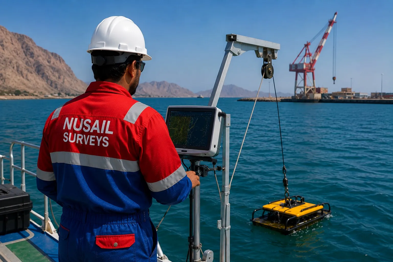 Marine & Hydrographic
Marine survey software for bathymetry, seabed modelling, cross-sections and hydrographic deliverables.
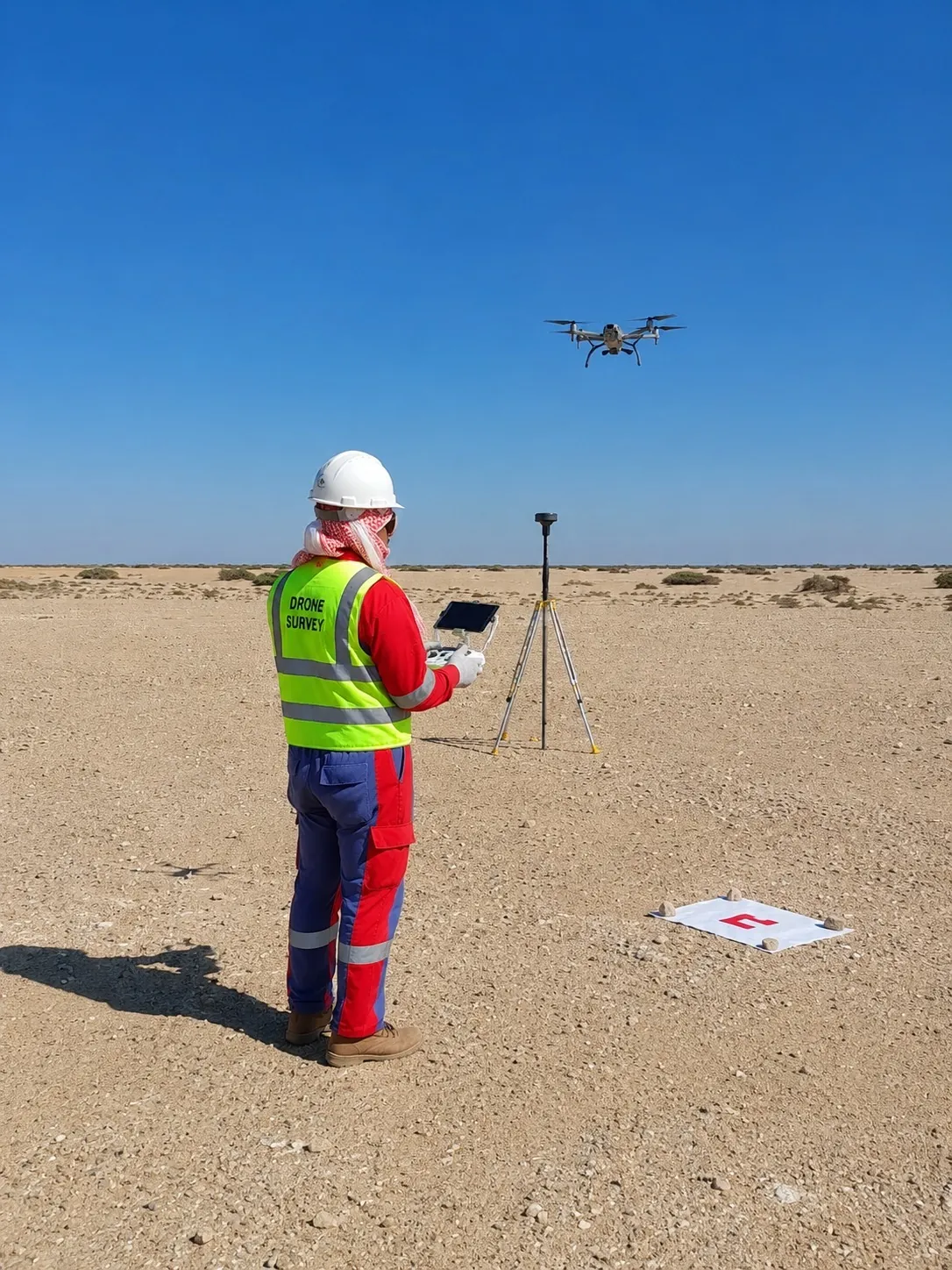 Drone, LiDAR & 3D
Drone and UAV mapping software for orthomosaics, DTM/DSM, point clouds, progress maps and inspection outputs.
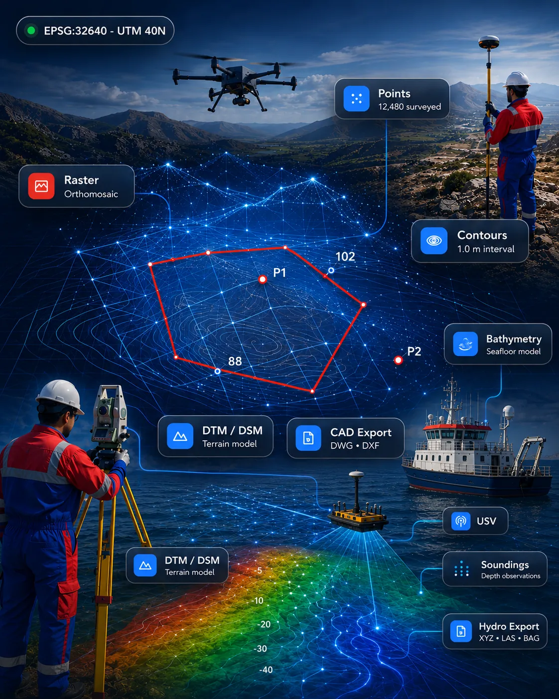 Drone, LiDAR & 3D
Point cloud processing for import, clipping, slicing, sections, registration review and CAD/GIS-ready outputs.
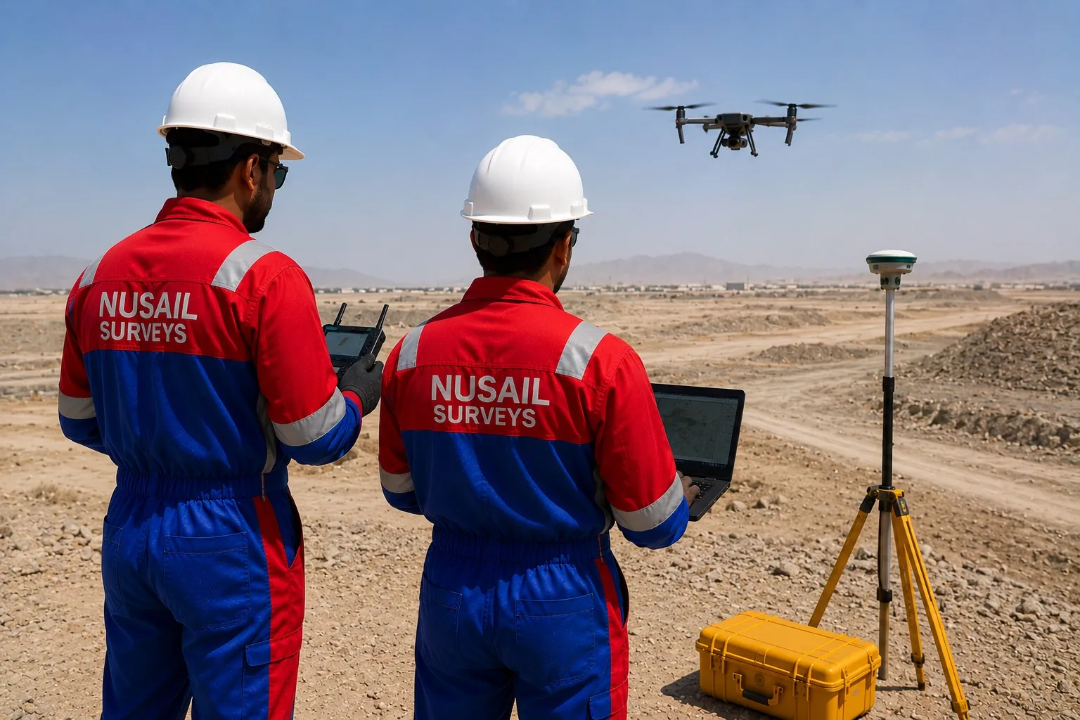 Survey & CAD
Field-to-finish survey automation for GNSS, total station, linework, terrain models, contours and CAD/GIS export.
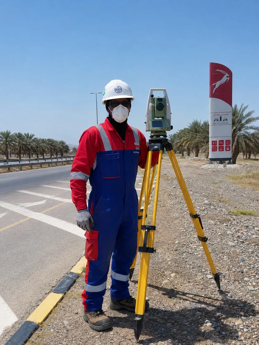 Survey & CAD
CAD drafting automation for survey drawings, coordinate tables, contours, sections and DXF/DWG outputs.
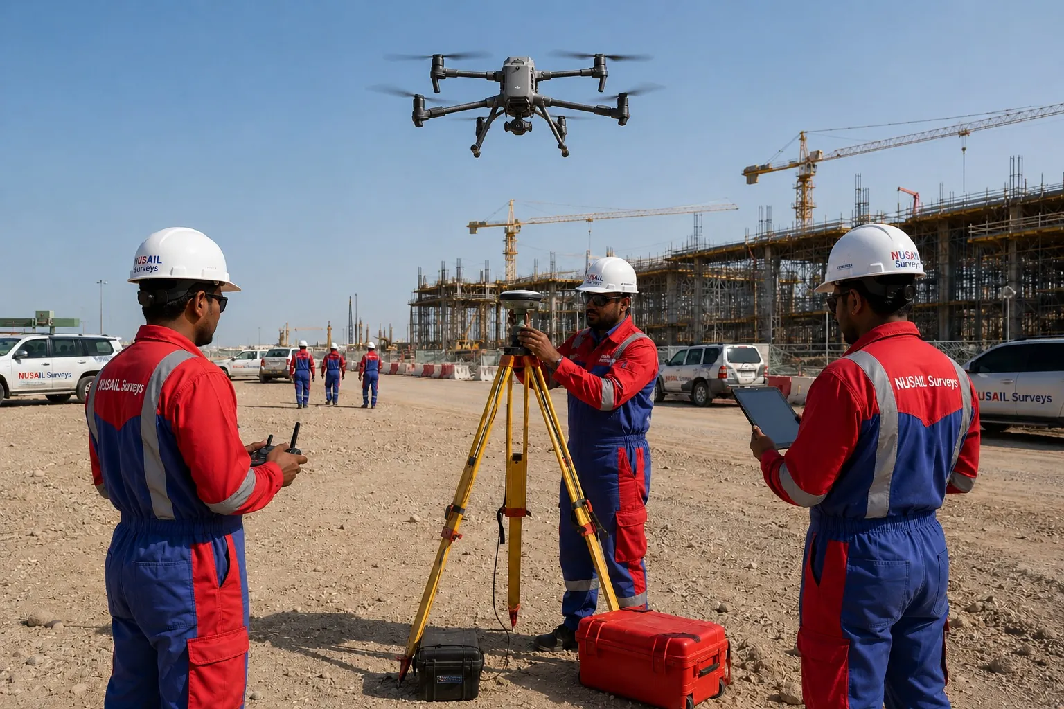 Survey & CAD
Field data capture for coordinates, forms, notes, photos, GNSS observations and structured survey collection.
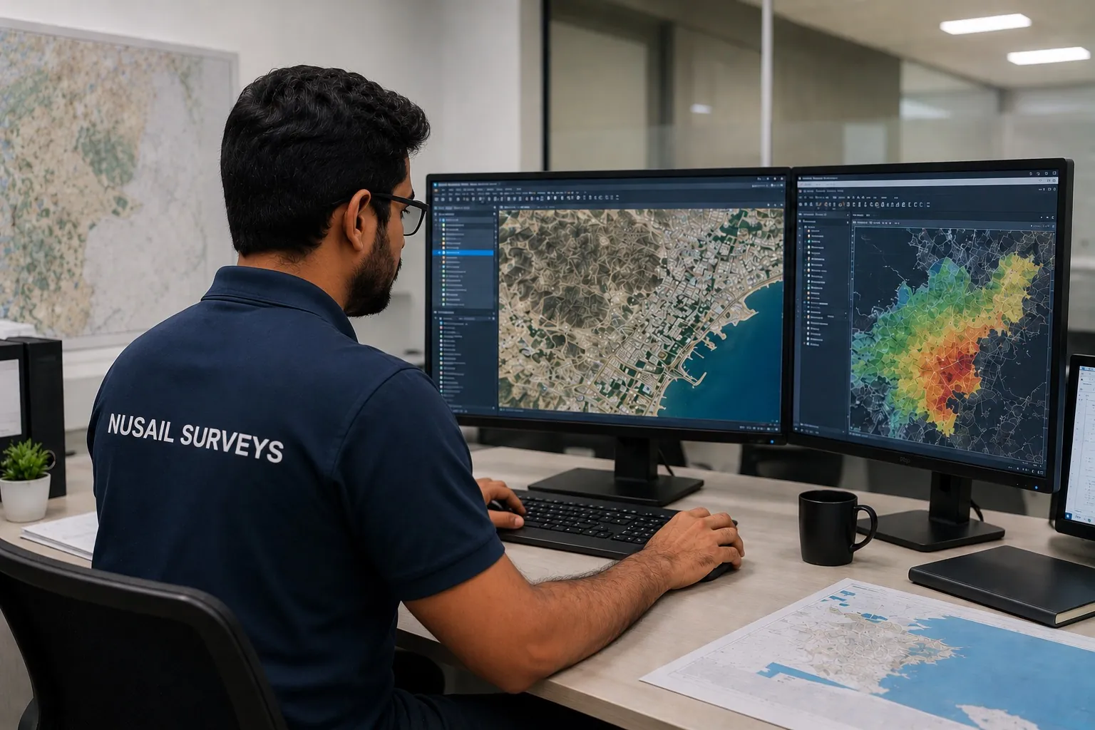 GIS & Assets
Desktop GIS asset management for utilities, roads, parcels, inspections and spatial records.
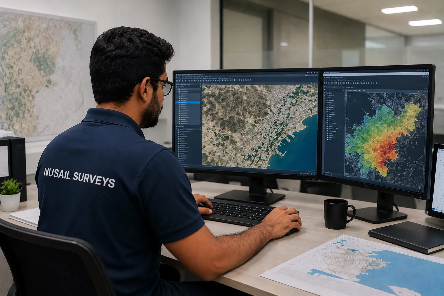 Business, Documents & QA
Engineering PDF editor for mark-up, merge, split, redlines, drawing review and submission-ready files.
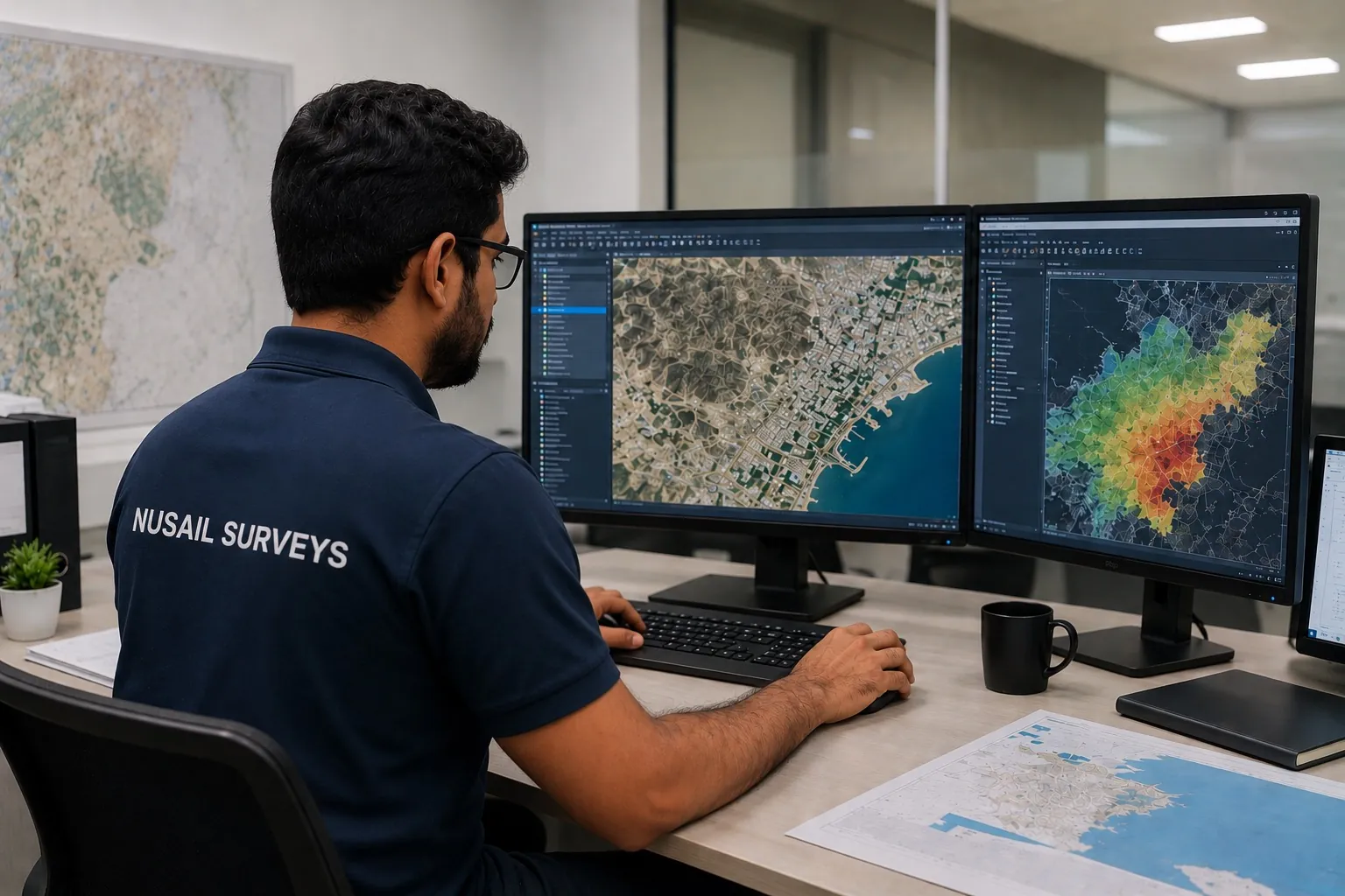 Business, Documents & QA
Survey business CRM for enquiries, quotations, follow-up, tender tracking, project status and workflow management.
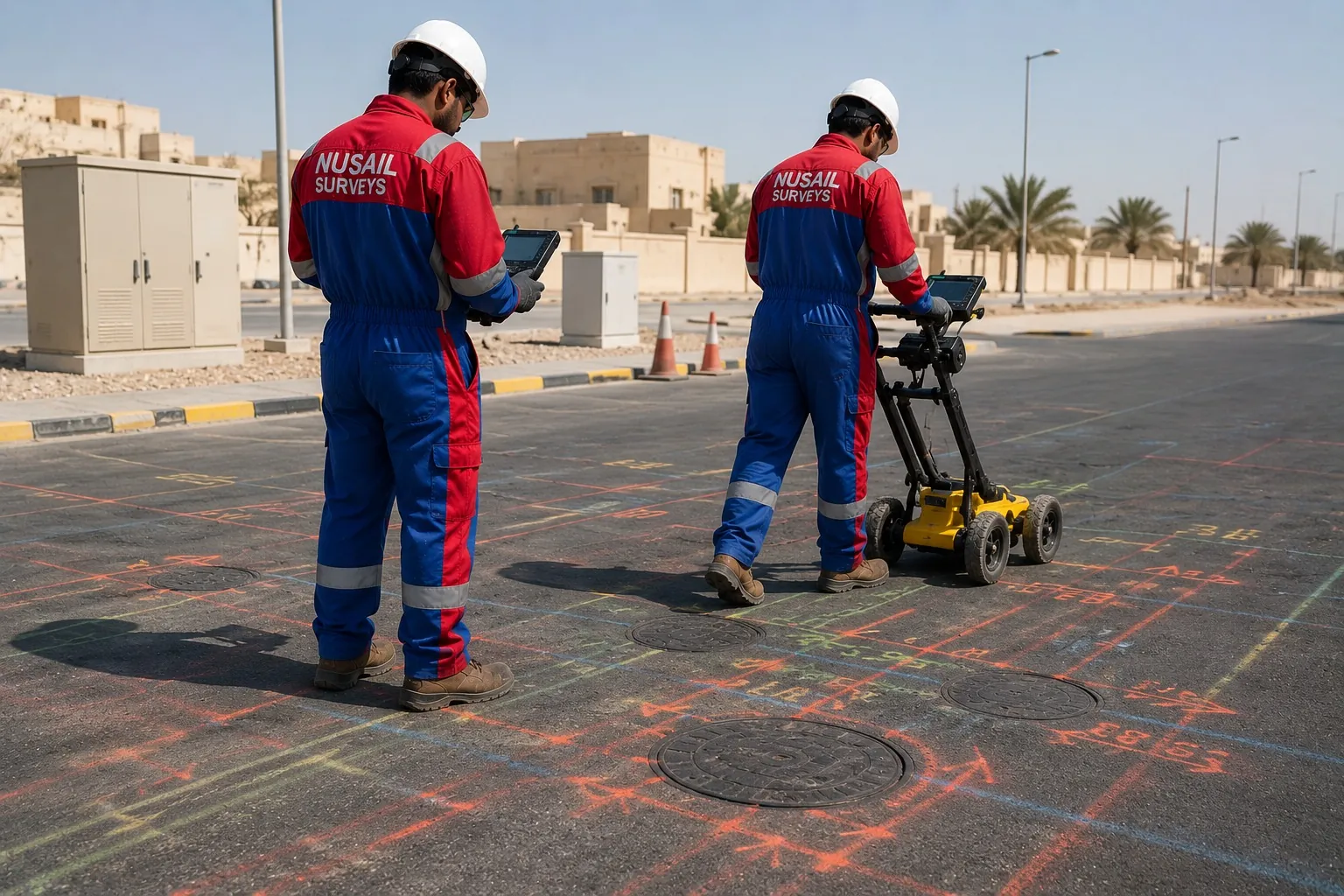 Business, Documents & QA
Inspection and verification software for terminal checks, cable records, issue logs, QA tracking and PDF reporting.
Looking for a broader capability, such as GIS web platforms or GeoAI? See solution areas.
Request a demo
Tell us your workflow and we will respond with scope, fit and demonstration options.